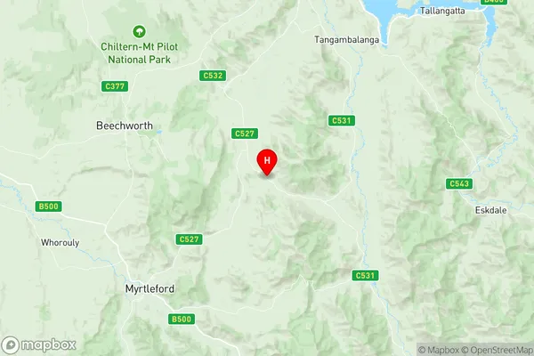
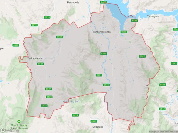
Yackandandah Suburbs & Region, Yackandandah Map & Postcodes
Yackandandah Suburbs & Region, Yackandandah Map & Postcodes in Yackandandah, Wodonga Alpine, Hume, VIC, AU
Yackandandah Region
Region Name
Yackandandah (VIC, AU)Yackandandah Area
708.2 square kilometers (708.2 ㎢)Yackandandah Introduction
Yackandandah is a small township in the Hume region of Victoria, Australia. It is located in the Shire of Buloke, approximately 160 kilometers north-east of Melbourne. The town is surrounded by beautiful countryside and is known for its peaceful and relaxed atmosphere. It has a population of around 2,000 people and is home to a variety of shops, cafes, and recreational facilities. The town is also home to the Yackandandah Museum, which showcases the history and culture of the region. The nearby Mount Beauty Reservoir is a popular spot for fishing, swimming, and boating, and the town is also close to the Mount Bogong National Park, which offers a range of hiking and walking trails.Australia State
City or Big Region
Greater Capital City
Rest of Vic. (2RVIC)District or Regional Area
Suburb Name
Yackandandah Region Map

Yackandandah Suburbs
Yackandandah full address
Yackandandah, Wodonga Alpine, Hume, Victoria, VIC, Australia, SaCode: 204031075Country
Yackandandah, Wodonga Alpine, Hume, Victoria, VIC, Australia, SaCode: 204031075
Yackandandah Suburbs & Region, Yackandandah Map & Postcodes has 0 areas or regions above, and there are 0 Yackandandah suburbs below. The sa2code for the Yackandandah region is 204031075. Its latitude and longitude coordinates are -36.4246,146.907. Yackandandah area belongs to Australia's greater capital city Rest of Vic..
