West Wodonga Suburbs & Region, West Wodonga Map & Postcodes
West Wodonga Suburbs & Region, West Wodonga Map & Postcodes in West Wodonga, Wodonga Alpine, Hume, VIC, AU
West Wodonga Region
Region Name
West Wodonga (VIC, AU)West Wodonga Area
153.88 square kilometers (153.88 ㎢)West Wodonga Suburb Area Map (Polygon)

West Wodonga Introduction
West Wodonga is a locality in the Hume region of Victoria, Australia. It is located on the Murray River, approximately 165 kilometers north-east of Melbourne. The town is known for its agriculture, with many farms and wineries in the surrounding area. West Wodonga has a population of around 10,000 people and is home to a number of historic buildings, including the West Wodonga Courthouse and the Wodonga Train Station. The town also has a number of parks and recreational facilities, including the Wodonga Golf Club and the Wodonga Botanic Gardens.Australia State
City or Big Region
Greater Capital City
Rest of Vic. (2RVIC)District or Regional Area
Suburb Name
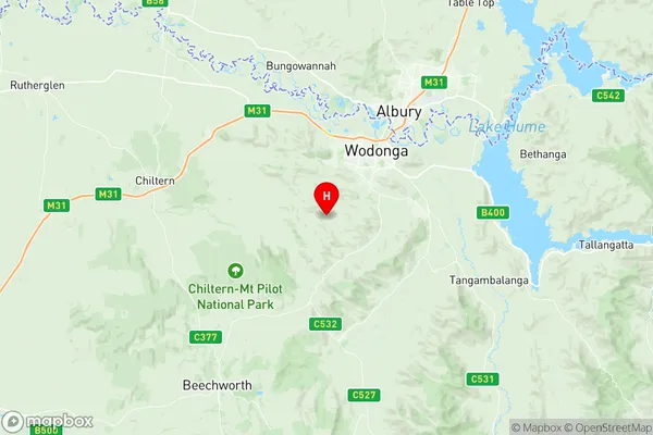
West Wodonga Region Map
West Wodonga Suburbs
West Wodonga full address
West Wodonga, Wodonga Alpine, Hume, Victoria, VIC, Australia, SaCode: 204031073Country
West Wodonga, Wodonga Alpine, Hume, Victoria, VIC, Australia, SaCode: 204031073
West Wodonga Suburbs & Region, West Wodonga Map & Postcodes has 0 areas or regions above, and there are 0 West Wodonga suburbs below. The sa2code for the West Wodonga region is 204031073. Its latitude and longitude coordinates are -36.1888,146.825. West Wodonga area belongs to Australia's greater capital city Rest of Vic..