Barnawartha North Area, Barnawartha North Postcode(3688) & Map in Barnawartha North, Hume, VIC
Barnawartha North Area, Barnawartha North Postcode(3688) & Map in Barnawartha North, Hume, VIC, AU, Postcode: 3688
Barnawartha North, West Wodonga, Wodonga - Alpine, Hume, Victoria, Australia, 3688
Barnawartha North Postcode
Area Name
Barnawartha NorthBarnawartha North Suburb Area Map (Polygon)

Barnawartha North Introduction
Barnawartha North is a locality in the Hume region of Victoria, Australia. It is located in the Shire of Buloke, 37 km north-east of Melbourne's central business district. The post office opened as Barnawartha on 1 October 1861 and was closed on 1 March 1974. The present post office opened as Barnawartha North on 1 July 1977 and was closed on 21 March 2019.State Name
City or Big Region
District or Regional Area
Suburb Name
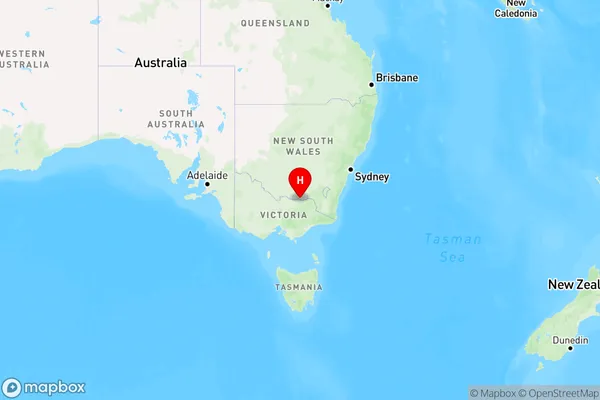
Barnawartha North Region Map
Country
Main Region in AU
R3Coordinates
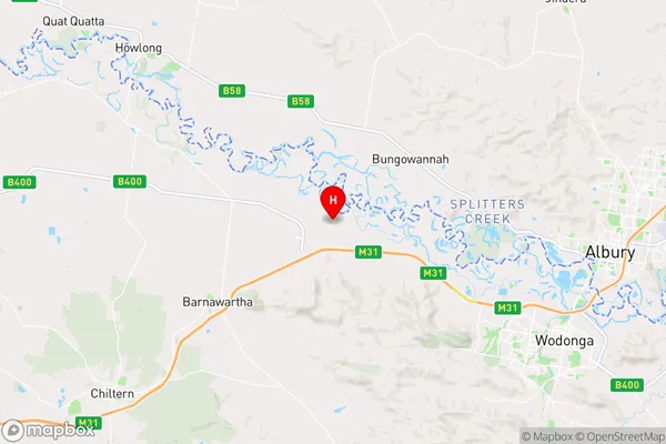
-36.0655,146.745 (latitude/longitude)Barnawartha North Area Map (Street)
Longitude
146.717193Latitude
-36.119195Barnawartha North Elevation
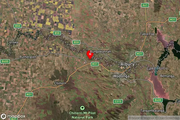
about 204.37 meters height above sea level (Altitude)Barnawartha North Suburb Map (Satellite)
Distances
The distance from Barnawartha North, Hume, VIC to AU Greater Capital CitiesSA1 Code 2011
20403107319SA1 Code 2016
20403107339SA2 Code
204031073SA3 Code
20403SA4 Code
204RA 2011
2RA 2016
2MMM 2015
2MMM 2019
2Charge Zone
V2LGA Region
IndigoLGA Code
23350Electorate
Indi