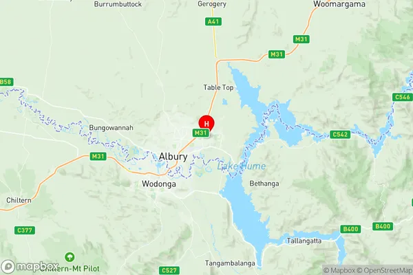
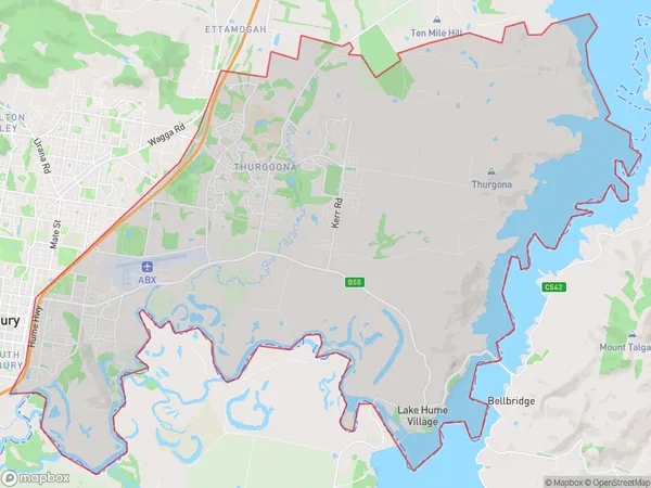
Albury East Suburbs & Region, Albury East Map & Postcodes
Albury East Suburbs & Region, Albury East Map & Postcodes in Albury East, Wodonga Alpine, Hume, NSW, AU
Albury East Region
Region Name
Albury East (NSW, AU)Albury East Area
101.48 square kilometers (101.48 ㎢)Postal Codes
2640, and 3691 (In total, there are 2 postcodes in Albury East.)Albury East Introduction
Albury East is a suburb of Hume, New South Wales, Australia. It is located on the banks of the Murray River and is part of the Greater Hume region. The suburb has a population of around 1,500 people and is known for its historic architecture and scenic surroundings. It is home to a number of important cultural landmarks, including the Albury Wodonga Historical Museum and the Albury Botanic Gardens. The area is also popular with outdoor enthusiasts, with many parks and recreational facilities nearby.Australia State
City or Big Region
Greater Capital City
Rest of NSW (1RNSW)District or Regional Area
Suburb Name
Albury East Region Map

Albury East Postcodes / Zip Codes
Albury East Suburbs
Albury East full address
Albury East, Wodonga Alpine, Hume, New South Wales, NSW, Australia, SaCode: 109011172Country
Albury East, Wodonga Alpine, Hume, New South Wales, NSW, Australia, SaCode: 109011172
Albury East Suburbs & Region, Albury East Map & Postcodes has 0 areas or regions above, and there are 4 Albury East suburbs below. The sa2code for the Albury East region is 109011172. Its latitude and longitude coordinates are -36.05,146.983. Albury East area belongs to Australia's greater capital city Rest of NSW.
Albury East Suburbs & Localities
1. Wirlinga
2. East Albury
3. Thurgoona
4. Lake Hume Village
