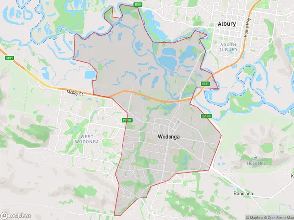
Wodonga Suburbs & Region, Wodonga Map & Postcodes
Wodonga Suburbs & Region, Wodonga Map & Postcodes in Wodonga, Wodonga Alpine, Hume, VIC, AU
Wodonga Region
Region Name
Wodonga (VIC, AU)Wodonga Area
30.31 square kilometers (30.31 ㎢)Wodonga Introduction
Wodonga is a city in north-east Victoria, Australia. It is located on the Murray River, 215 km north-east of Melbourne, and 125 km south-west of the state capital, Bendigo. The city has a population of around 30,000 people and is the administrative center of the Hume Region. Wodonga is known for its agriculture, with the region being a major producer of wheat, sheep, and cattle. The city also has a number of industries, including manufacturing, retail, and tourism. Wodonga is home to a number of landmarks and attractions, including the Wodonga Train Station, the Wodonga Art Gallery, and the Wodonga Botanic Gardens. The city is also a popular destination for outdoor activities, with the nearby Lake Hume and the Mount Beauty National Park providing opportunities for fishing, swimming, and hiking.Australia State
City or Big Region
Greater Capital City
Rest of Vic. (2RVIC)District or Regional Area
Suburb Name
Wodonga Suburbs
Wodonga full address
Wodonga, Wodonga Alpine, Hume, Victoria, VIC, Australia, SaCode: 204031492Country
Wodonga, Wodonga Alpine, Hume, Victoria, VIC, Australia, SaCode: 204031492
Wodonga Suburbs & Region, Wodonga Map & Postcodes has 0 areas or regions above, and there are 0 Wodonga suburbs below. The sa2code for the Wodonga region is 204031492. Wodonga area belongs to Australia's greater capital city Rest of Vic..
