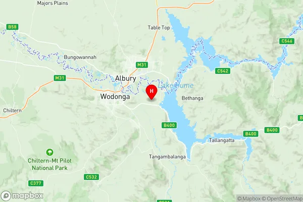
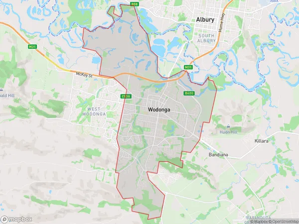
Wodonga Suburbs & Region, Wodonga Map & Postcodes
Wodonga Suburbs & Region, Wodonga Map & Postcodes in Wodonga, Wodonga Alpine, Hume, VIC, AU
Wodonga Region
Region Name
Wodonga (VIC, AU)Postal Codes
from 3689 to 3691, and 3694 (In total, there are 4 postcodes in Wodonga.)Wodonga Introduction
Wodonga is a city in north-east Victoria, Australia. It is located on the Murray River, 215 km north-east of Melbourne, and 125 km south-west of the state capital, Bendigo. The city has a population of around 30,000 people and is the administrative center of the Hume Shire. Wodonga is known for its agriculture, with a large number of farms and wineries in the surrounding area. The city also has a number of tourist attractions, including the Wodonga Cheese Factory, the Wodonga Botanic Gardens, and the Wodonga Golf Club.Australia State
City or Big Region
District or Regional Area
Suburb Name
Wodonga Region Map

Wodonga Postcodes / Zip Codes
Wodonga Suburbs
Wodonga full address
Wodonga, Wodonga Alpine, Hume, Victoria, VIC, Australia, SaCode: 204031074Country
Wodonga, Wodonga Alpine, Hume, Victoria, VIC, Australia, SaCode: 204031074
Wodonga Suburbs & Region, Wodonga Map & Postcodes has 0 areas or regions above, and there are 15 Wodonga suburbs below. The sa2code for the Wodonga region is 204031074. Its latitude and longitude coordinates are -36.1305,146.987.
Wodonga Suburbs & Localities
1. Baranduda
2. Ebden
3. Hume Weir
4. Leneva
5. Bandiana
6. Wodonga
7. Bandiana
8. Lone Pine
9. Wodonga Forward
10. Wodonga
11. Wodonga Plaza
12. Bonegilla
13. Gateway Island
14. Killara
15. Bandiana Milpo
