Wodonga Area, Wodonga Postcode(3689) & Map in Wodonga, Hume, VIC
Wodonga Area, Wodonga Postcode(3689) & Map in Wodonga, Hume, VIC, AU, Postcode: 3689
Wodonga, Wodonga, Wodonga - Alpine, Hume, Victoria, Australia, 3689
Wodonga Postcode
Area Name
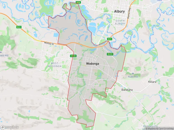
WodongaWodonga Suburb Area Map (Polygon)

Wodonga Introduction
Wodonga is a city in north-east Victoria, Australia. It is located on the Murray River, 215 km north-west of Melbourne, and is the administrative center of the Hume Shire. The population of Wodonga at the 2016 census was 31,194. Wodonga has a variety of industries, including manufacturing, agriculture, and tourism. The city is home to the Wodonga Institute of Technology and the Albury-Wodonga Campus of Charles Sturt University. It is also a popular destination for outdoor activities, such as fishing, hiking, and skiing.State Name
City or Big Region
District or Regional Area
Suburb Name
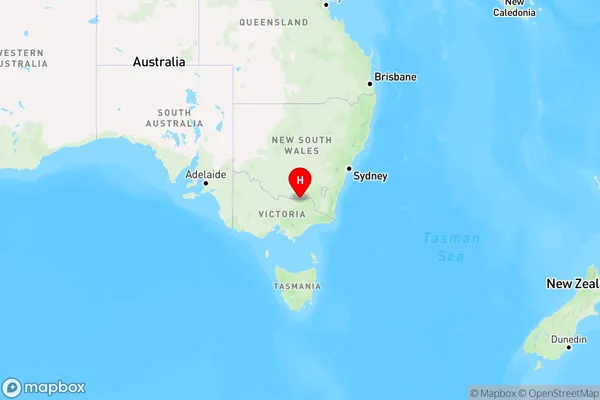
Wodonga Region Map

Country
Main Region in AU
R3Coordinates
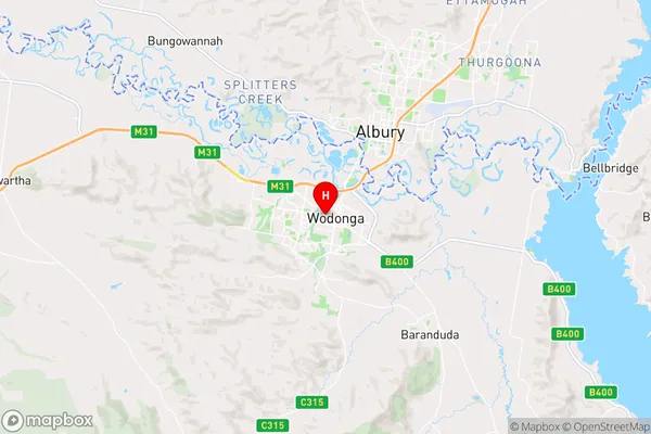
-36.1240938,146.8817639 (latitude/longitude)Wodonga Area Map (Street)

Longitude
144.989793Latitude
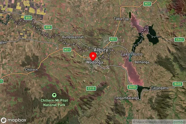
-37.67576Wodonga Suburb Map (Satellite)

Distances
The distance from Wodonga, Hume, VIC to AU Greater Capital CitiesSA1 Code 2011
20403107422SA1 Code 2016
20403107422SA2 Code
204031074SA3 Code
20403SA4 Code
204RA 2011
2RA 2016
2MMM 2015
2MMM 2019
2Charge Zone
V2LGA Region
DarebinLGA Code
21890Electorate
Indi