Glenrowan Area, Glenrowan Postcode(3675) & Map in Glenrowan, Hume, VIC
Glenrowan Area, Glenrowan Postcode(3675) & Map in Glenrowan, Hume, VIC, AU, Postcode: 3675
Glenrowan, Wangaratta Region, Wangaratta - Benalla, Hume, Victoria, Australia, 3675
Glenrowan Postcode
Area Name
GlenrowanGlenrowan Suburb Area Map (Polygon)

Glenrowan Introduction
Glenrowan is a small township in the Hume region of Victoria, Australia. It is best known for being the site of the Glenrowan Siege, which took place on 28 and 29 June 1980. The siege was a confrontation between the Victorian Police and a group of armed terrorists who were holding a group of hostages at the Royal Hotel in Glenrowan. The siege ended with the deaths of the four terrorists and the police officer who was killed in the shootout.State Name
City or Big Region
District or Regional Area
Suburb Name
Glenrowan Region Map

Country
Main Region in AU
R3Coordinates
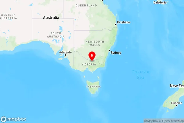
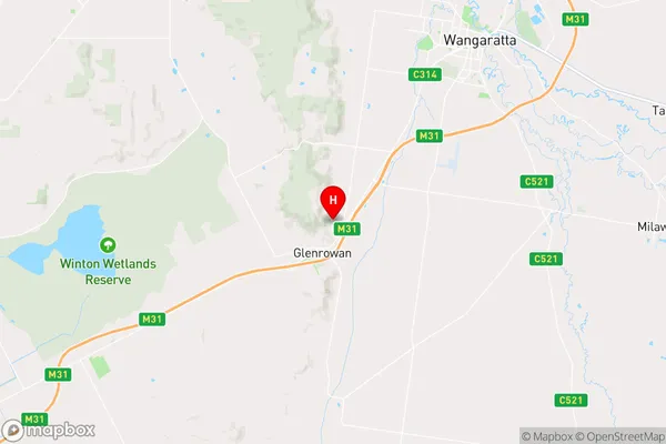
-36.4468841,146.2321651 (latitude/longitude)Glenrowan Area Map (Street)

Longitude
146.266835Latitude
-36.565078Glenrowan Elevation
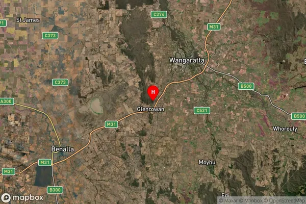
about 189.99 meters height above sea level (Altitude)Glenrowan Suburb Map (Satellite)

Distances
The distance from Glenrowan, Hume, VIC to AU Greater Capital CitiesSA1 Code 2011
20402106720SA1 Code 2016
20402106720SA2 Code
204021067SA3 Code
20402SA4 Code
204RA 2011
2RA 2016
2MMM 2015
3MMM 2019
3Charge Zone
V2LGA Region
WangarattaLGA Code
26700Electorate
Nicholls