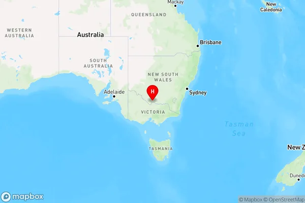
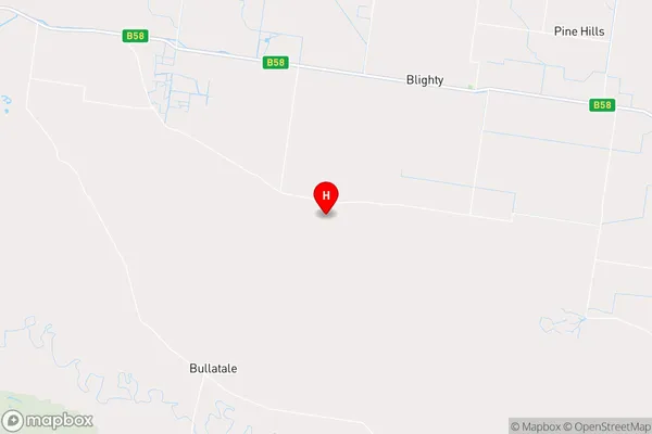
Tuppal Area, Tuppal Postcode(2714) & Map in Tuppal, Murray, NSW
Tuppal Area, Tuppal Postcode(2714) & Map in Tuppal, Murray, NSW, AU, Postcode: 2714
Tuppal, Deniliquin Region, Upper Murray exc. Albury, Murray, New South Wales, Australia, 2714
Tuppal Postcode
Area Name
TuppalTuppal Suburb Area Map (Polygon)

Tuppal Introduction
Tuppal is a suburb of Lake Macquarie in the City of Lake Macquarie, New South Wales, Australia. It is part of the Greater Newcastle region. The population of Tuppal is approximately 1,500 people. The suburb is named after the Tuppal tribe of the Gamilaraay people. Tuppal is located 56 kilometers west of Newcastle's central business district and has a post office, a primary school, and a community hall. The suburb is surrounded by natural beauty, including the Watagan Mountains and the Lake Macquarie region.State Name
City or Big Region
District or Regional Area
Suburb Name
Tuppal Region Map

Country
Main Region in AU
R3Coordinates
-35.6604843,145.2245615 (latitude/longitude)Tuppal Area Map (Street)

Longitude
145.434084Latitude
-35.76294Tuppal Suburb Map (Satellite)

Distances
The distance from Tuppal, Murray, NSW to AU Greater Capital CitiesSA1 Code 2011
10903118319SA1 Code 2016
10903118319SA2 Code
109031183SA3 Code
10903SA4 Code
109RA 2011
3RA 2016
3MMM 2015
5MMM 2019
5Charge Zone
N2LGA Region
BerriganLGA Code
10650Electorate
Farrer