Wunghnu Area, Wunghnu Postcode(3635) & Map in Wunghnu, Shepparton, VIC
Wunghnu Area, Wunghnu Postcode(3635) & Map in Wunghnu, Shepparton, VIC, AU, Postcode: 3635
Wunghnu, Numurkah, Moira, Shepparton, Victoria, Australia, 3635
Wunghnu Postcode
Area Name
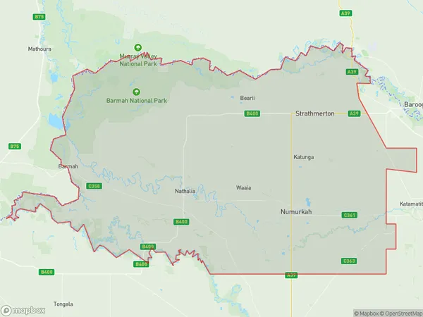
WunghnuWunghnu Suburb Area Map (Polygon)

Wunghnu Introduction
Wunghnu is a small Aboriginal community located in the Shire of Shepparton, Victoria, Australia. It is situated on the banks of the Murray River, approximately 25 kilometers north-east of the town of Shepparton. The community is primarily composed of the Wunghnu people, who are members of the Wurundjeri tribe. Wunghnu has a post office, a primary school, a community hall, and a health center. The community is known for its rich cultural heritage and traditional practices, including fishing, hunting, and weaving. The nearby Murray River provides a source of food and water for the community, and the area is also home to a variety of wildlife, including kangaroos, wallabies, and birds.State Name
City or Big Region
District or Regional Area
Suburb Name
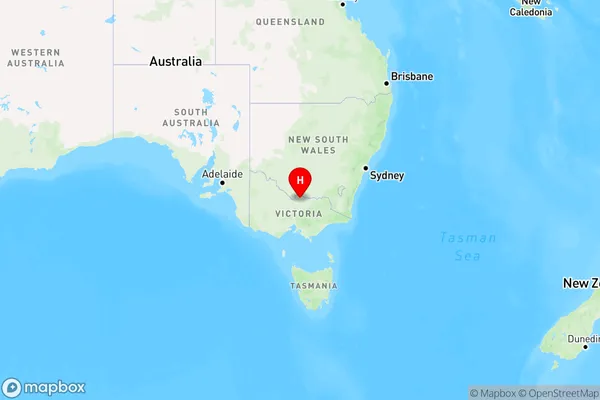
Wunghnu Region Map

Country
Main Region in AU
R3Coordinates
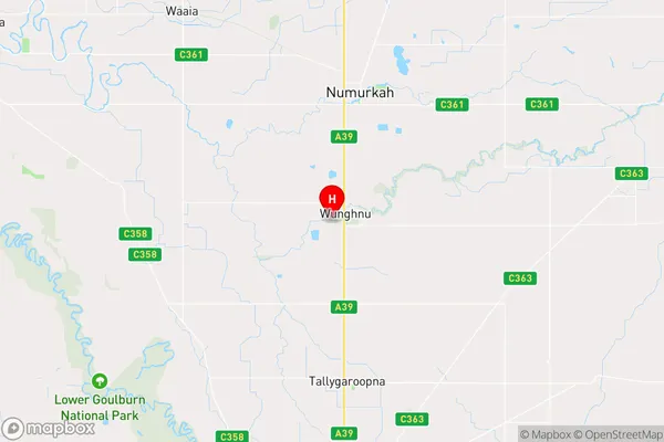
-36.1576304,145.4243197 (latitude/longitude)Wunghnu Area Map (Street)

Longitude
145.30827Latitude
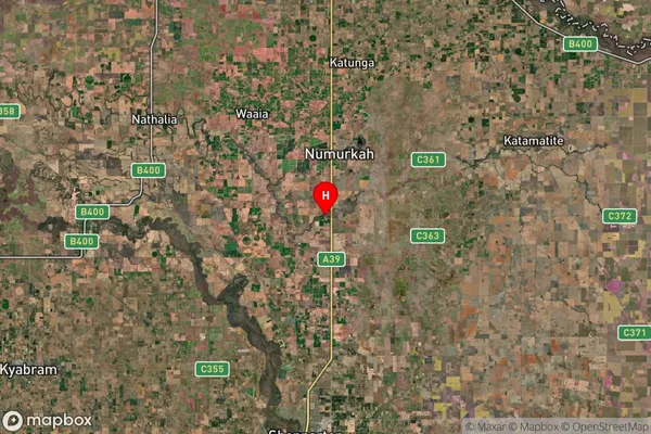
-36.142596Wunghnu Suburb Map (Satellite)

Distances
The distance from Wunghnu, Shepparton, VIC to AU Greater Capital CitiesSA1 Code 2011
21602141304SA1 Code 2016
21602141304SA2 Code
216021413SA3 Code
21602SA4 Code
216RA 2011
2RA 2016
2MMM 2015
5MMM 2019
5Charge Zone
V2LGA Region
MoiraLGA Code
24900Electorate
Nicholls