Prentice North Area, Prentice North Postcode(3685) & Map in Prentice North, Hume, VIC
Prentice North Area, Prentice North Postcode(3685) & Map in Prentice North, Hume, VIC, AU, Postcode: 3685
Prentice North, Rutherglen, Wangaratta - Benalla, Hume, Victoria, Australia, 3685
Prentice North Postcode
Area Name
Prentice NorthPrentice North Suburb Area Map (Polygon)

Prentice North Introduction
Prentice North is a small rural town located in the Shire of Buloke, Victoria, Australia. It is situated in the foothills of the Great Dividing Range and is approximately 125 kilometers north-east of Melbourne. The town has a population of around 300 people and is known for its scenic countryside and agricultural pursuits. The primary industry in the area is farming, with crops such as wheat, barley, and sheep being grown. Prentice North also has a historic railway station, which is now a museum.State Name
City or Big Region
District or Regional Area
Suburb Name
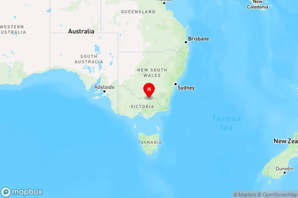
Prentice North Region Map
Country
Main Region in AU
R3Coordinates
-36.03,146.5 (latitude/longitude)Prentice North Area Map (Street)
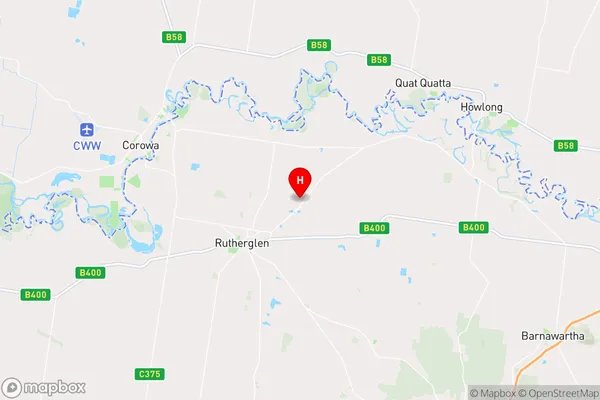
Longitude
146.470638Latitude
-36.056449Prentice North Elevation
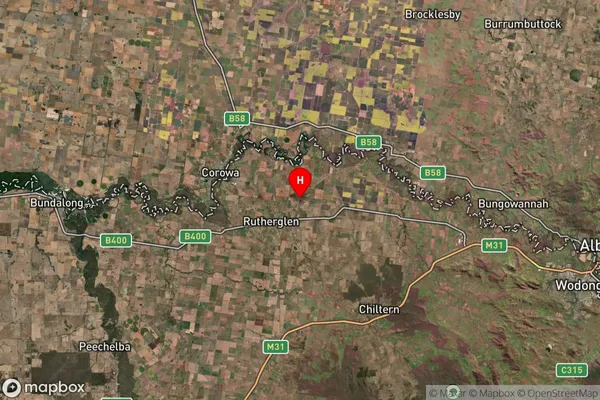
about 162.01 meters height above sea level (Altitude)Prentice North Suburb Map (Satellite)
Distances
The distance from Prentice North, Hume, VIC to AU Greater Capital CitiesSA1 Code 2011
20402106507SA1 Code 2016
20402106507SA2 Code
204021065SA3 Code
20402SA4 Code
204RA 2011
2RA 2016
2MMM 2015
5MMM 2019
4Charge Zone
V2LGA Region
IndigoLGA Code
23350Electorate
Indi