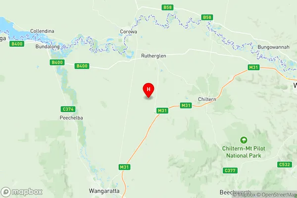
Rutherglen Suburbs & Region, Rutherglen Map & Postcodes
Rutherglen Suburbs & Region, Rutherglen Map & Postcodes in Rutherglen, Moira, Shepparton, VIC, AU
Rutherglen Region
Region Name
Rutherglen (VIC, AU)Rutherglen Area
479.84 square kilometers (479.84 ㎢)Postal Codes
3682, 3685, and 3687 (In total, there are 3 postcodes in Rutherglen.)Rutherglen Introduction
Rutherglen is a town in north-east Victoria, Australia. It is located in the Goulburn Valley region, 115 km north-east of Melbourne. The town is surrounded by vineyards and wineries and is known for its wine production. Rutherglen is also home to the Rutherglen Football Club, which competes in the Heathcote Football League. The town has a population of around 3,000 people and is a popular tourist destination.Australia State
City or Big Region
Greater Capital City
Rest of Vic. (2RVIC)District or Regional Area
Suburb Name
Rutherglen Region Map

Rutherglen Postcodes / Zip Codes
Rutherglen Suburbs
Rutherglen full address
Rutherglen, Moira, Shepparton, Victoria, VIC, Australia, SaCode: 204021065Country
Rutherglen, Moira, Shepparton, Victoria, VIC, Australia, SaCode: 204021065
Rutherglen Suburbs & Region, Rutherglen Map & Postcodes has 0 areas or regions above, and there are 13 Rutherglen suburbs below. The sa2code for the Rutherglen region is 204021065. Its latitude and longitude coordinates are -36.1507,146.446. Rutherglen area belongs to Australia's greater capital city Rest of Vic..
Rutherglen Suburbs & Localities
1. Norong
2. Dugays Bridge
3. Gooramadda
4. Carlyle
5. Lilliput
6. Great Southern
7. Prentice North
8. Brimin
9. Lake Moodemere
10. Rutherglen
11. Wahgunyah
12. Carlyle
13. Norong Central
