Mount Bruno Area, Mount Bruno Postcode(3675) & Map in Mount Bruno, Hume, VIC
Mount Bruno Area, Mount Bruno Postcode(3675) & Map in Mount Bruno, Hume, VIC, AU, Postcode: 3675
Mount Bruno, Benalla Region, Wangaratta - Benalla, Hume, Victoria, Australia, 3675
Mount Bruno Postcode
Area Name
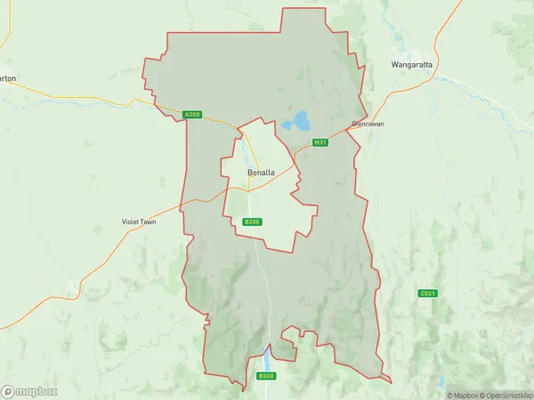
Mount BrunoMount Bruno Suburb Area Map (Polygon)

Mount Bruno Introduction
Mount Bruno is a mountain located in the Hume region of Victoria, Australia. It is part of the Great Dividing Range and is known for its scenic views and recreational activities such as hiking, camping, and skiing. The mountain is also home to a variety of wildlife, including mountain goats, wallabies, and kangaroos.State Name
City or Big Region
District or Regional Area
Suburb Name
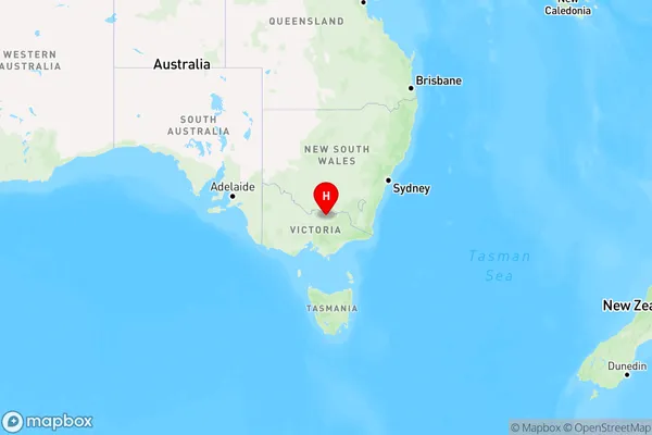
Mount Bruno Region Map

Country
Main Region in AU
R3Coordinates
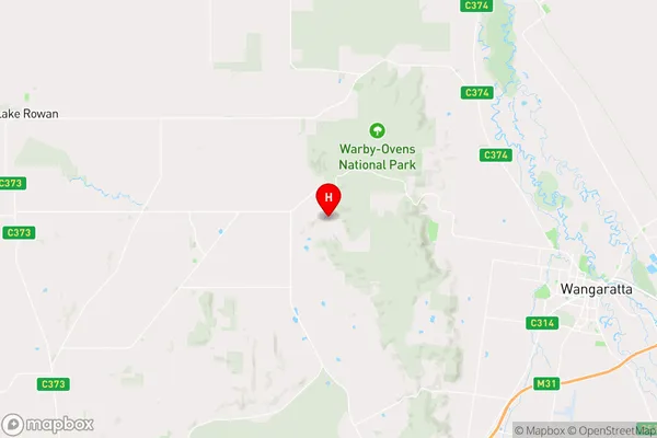
-36.3209075,146.1550012 (latitude/longitude)Mount Bruno Area Map (Street)

Longitude
146.266835Latitude
-36.565078Mount Bruno Elevation
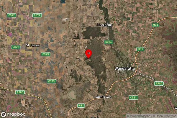
about 189.99 meters height above sea level (Altitude)Mount Bruno Suburb Map (Satellite)

Distances
The distance from Mount Bruno, Hume, VIC to AU Greater Capital CitiesSA1 Code 2011
20402106402SA1 Code 2016
20402106402SA2 Code
204021064SA3 Code
20402SA4 Code
204RA 2011
2RA 2016
2MMM 2015
5MMM 2019
5Charge Zone
V2LGA Region
WangarattaLGA Code
26700Electorate
Nicholls