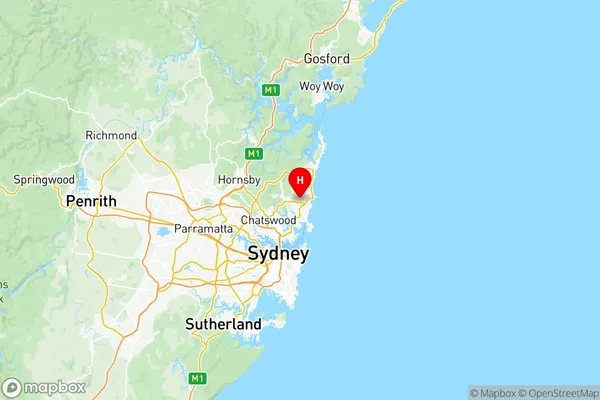
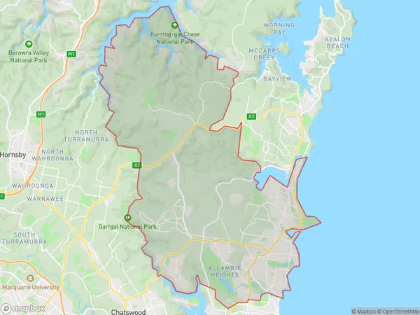
Warringah Suburbs & Region, Warringah Map & Postcodes
Warringah Suburbs & Region, Warringah Map & Postcodes in Warringah, Sydney Northern Beaches, NSW, AU
Warringah Region
Region Name
Warringah (NSW, AU)Warringah Area
149.21 square kilometers (149.21 ㎢)Postal Codes
1639, 1640, from 2084 to 2087, 2093, 2096, 2097, and from 2099 to 2101 (In total, there are 12 postcodes in Warringah.)Warringah Introduction
Warringah is a suburb on the Northern Beaches of Sydney, in New South Wales, Australia. It is located 18 kilometers north of Sydney's central business district and is part of the Northern Beaches Council. Warringah is known for its beautiful beaches, parks, and recreational facilities, including the Warringah Aquatic Centre and the Warringah Mall. The suburb has a diverse population and is home to many families, young professionals, and retirees. It is also a popular destination for tourists due to its proximity to Sydney's attractions, including the Sydney Opera House and Taronga Zoo.Australia State
City or Big Region
District or Regional Area
Warringah Region Map

Warringah Postcodes / Zip Codes
Warringah Suburbs
Balgowlah Clontarf Seaforth
Warriewood Mona Vale
Beacon Hill Narraweena
Dee Why North Curl Curl
Forestville Killarney Heights
Frenchs Forest Belrose
Freshwater Brookvale
Manly Vale Allambie Heights
Narrabeen Collaroy
Terrey Hills Duffys Forest
Collaroy Collaroy Plateau
Dee Why (South) North Curl Curl
Frenchs Forest Oxford Falls
Narrabeen Wheeler Heights
Warringah full address
Warringah, Sydney Northern Beaches, New South Wales, NSW, Australia, SaCode: 12203Country
Warringah, Sydney Northern Beaches, New South Wales, NSW, Australia, SaCode: 12203
Warringah Suburbs & Region, Warringah Map & Postcodes has 17 areas or regions above, and there are 47 Warringah suburbs below. The sa3code for the Warringah region is 12203. Its latitude and longitude coordinates are -33.7486,151.268.
Warringah Suburbs & Localities
1. Frenchs Forest
2. Frenchs Forest
3. Frenchs Forest
4. Killarney Heights
5. Balgowlah
6. Balgowlah Heights
7. Harbord
8. Collaroy Plateau West
9. Cromer Heights
10. Elanora Heights
11. Belrose
12. Frenchs Forest East
13. Clontarf
14. Curl Curl
15. Queenscliff
16. Long Reef
17. Dee Why Beach
18. Narraweena
19. North Curl Curl
20. Allambie
21. North Manly
22. Oxford Falls
23. Warringah Mall
24. Narrabeen
25. Akuna Bay
26. Cottage Point
27. Terrey Hills
28. Davidson
29. Manly Vale
30. North Balgowlah
31. Freshwater
32. Collaroy Plateau
33. Dee Why
34. Duffys Forest
35. Belrose West
36. Forestville
37. Collaroy
38. Beacon Hill
39. Brookvale
40. North Narrabeen
41. Collaroy Beach
42. Wheeler Heights
43. Cromer
44. Wingala
45. Allambie Heights
46. Ingleside
47. Narrabeen Peninsula
