Cromer Heights Area, Cromer Heights Postcode(2099) & Map in Cromer Heights, Sydney - Northern Beaches, NSW
Cromer Heights Area, Cromer Heights Postcode(2099) & Map in Cromer Heights, Sydney - Northern Beaches, NSW, AU, Postcode: 2099
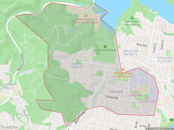
Cromer Heights, Cromer, Warringah, Sydney - Northern Beaches, New South Wales, Australia, 2099
Cromer Heights Postcode
Area Name
Cromer HeightsCromer Heights Suburb Area Map (Polygon)
Cromer Heights Introduction
Cromer Heights is a suburb in the Northern Beaches of Sydney, in New South Wales, Australia. It is located 16 kilometers north of Sydney's central business district and is part of the Northern Beaches Council. The suburb is known for its scenic ocean views, peaceful atmosphere, and well-maintained parks and beaches. It is home to a large number of families and young professionals and has a variety of shopping centers, restaurants, and cafes.State Name
City or Big Region
District or Regional Area
Suburb Name
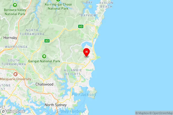
Cromer Heights Region Map

Country
Main Region in AU
R1Coordinates
-33.7414,151.282 (latitude/longitude)Cromer Heights Area Map (Street)
Longitude
151.279999Latitude
-33.748914Cromer Heights Elevation
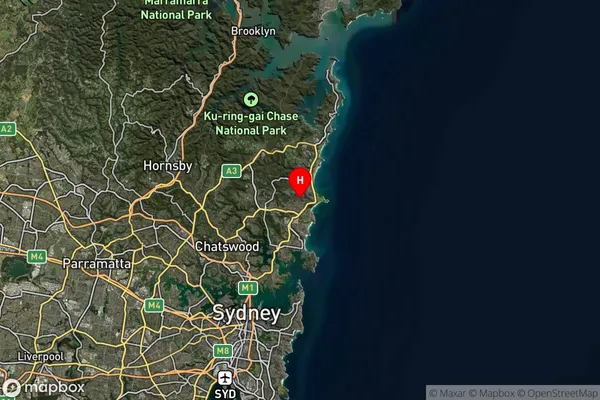
about 68.31 meters height above sea level (Altitude)Cromer Heights Suburb Map (Satellite)
Distances
The distance from Cromer Heights, Sydney - Northern Beaches, NSW to AU Greater Capital CitiesSA1 Code 2011
12203142509SA1 Code 2016
12203142509SA2 Code
122031425SA3 Code
12203SA4 Code
122RA 2011
1RA 2016
1MMM 2015
1MMM 2019
1Charge Zone
N1LGA Region
Northern BeachesLGA Code
15990Electorate
Warringah