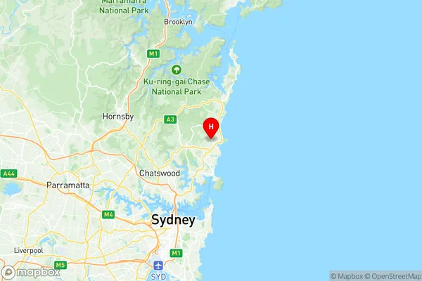
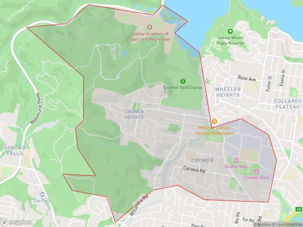
Cromer Suburbs & Region, Cromer Map & Postcodes
Cromer Suburbs & Region, Cromer Map & Postcodes in Cromer, Warringah, Sydney Northern Beaches, NSW, AU
Cromer Region
Region Name
Cromer (NSW, AU)Cromer Area
7.49 square kilometers (7.49 ㎢)Postal Codes
2099 (In total, there are 1 postcodes in Cromer.)Cromer Introduction
Cromer is a suburb on the Northern Beaches of Sydney, in New South Wales, Australia. It is located 39 kilometers north of Sydney's central business district and is part of the Northern Beaches Council. The suburb is known for its beautiful beaches, including Cromer Beach, which is a popular spot for surfing and swimming. Cromer also has a historic lighthouse, which was built in 1889 and is a popular tourist attraction. The suburb has a population of around 11,000 people and is surrounded by lush bushland and scenic waterways.Australia State
City or Big Region
Greater Capital City
Greater Sydney (1GSYD)District or Regional Area
Suburb Name
Cromer Region Map

Cromer Postcodes / Zip Codes
Cromer Suburbs
Cromer full address
Cromer, Warringah, Sydney Northern Beaches, New South Wales, NSW, Australia, SaCode: 122031425Country
Cromer, Warringah, Sydney Northern Beaches, New South Wales, NSW, Australia, SaCode: 122031425
Cromer Suburbs & Region, Cromer Map & Postcodes has 0 areas or regions above, and there are 2 Cromer suburbs below. The sa2code for the Cromer region is 122031425. Its latitude and longitude coordinates are -33.7414,151.282. Cromer area belongs to Australia's greater capital city Greater Sydney.
Cromer Suburbs & Localities
1. Cromer Heights
2. Cromer
