Curl Curl Area, Curl Curl Postcode(2096) & Map in Curl Curl, Sydney - Northern Beaches, NSW
Curl Curl Area, Curl Curl Postcode(2096) & Map in Curl Curl, Sydney - Northern Beaches, NSW, AU, Postcode: 2096
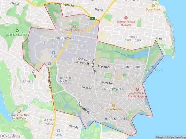
Curl Curl, Freshwater - Brookvale, Warringah, Sydney - Northern Beaches, New South Wales, Australia, 2096
Curl Curl Postcode
Area Name
Curl CurlCurl Curl Suburb Area Map (Polygon)

Curl Curl Introduction
Curl Curl is a popular beach located in the Northern Beaches of Sydney, known for its beautiful sandy beaches, crystal-clear waters, and vibrant coastal atmosphere. It is a popular spot for swimming, surfing, and sunbathing, with a variety of cafes, restaurants, and shops nearby. The beach also offers a range of water sports activities, including jet skiing, paddleboarding, and kayaking. Curl Curl is surrounded by lush green parks and reserves, providing a peaceful escape from the hustle and bustle of the city.State Name
City or Big Region
District or Regional Area
Suburb Name
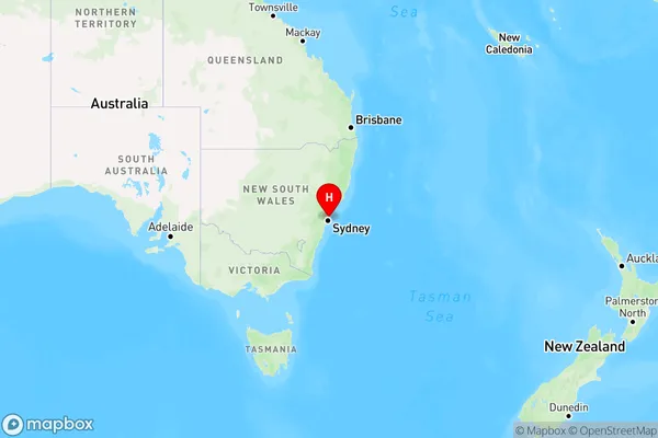
Curl Curl Region Map

Country
Main Region in AU
R1Coordinates
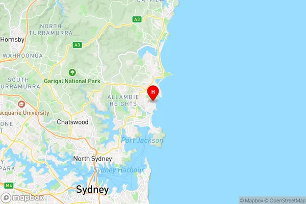
-33.77213,151.28992 (latitude/longitude)Curl Curl Area Map (Street)

Longitude
151.28494Latitude
-33.776781Curl Curl Elevation
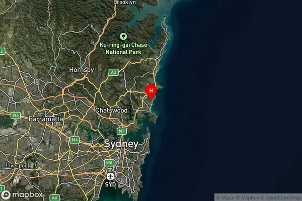
about 18.67 meters height above sea level (Altitude)Curl Curl Suburb Map (Satellite)

Distances
The distance from Curl Curl, Sydney - Northern Beaches, NSW to AU Greater Capital CitiesSA1 Code 2011
12203142901SA1 Code 2016
12203142901SA2 Code
122031429SA3 Code
12203SA4 Code
122RA 2011
1RA 2016
1MMM 2015
1MMM 2019
1Charge Zone
N1LGA Region
MosmanLGA Code
15350Electorate
Warringah