Queenscliff Area, Queenscliff Postcode(2096) & Map in Queenscliff, Sydney - Northern Beaches, NSW
Queenscliff Area, Queenscliff Postcode(2096) & Map in Queenscliff, Sydney - Northern Beaches, NSW, AU, Postcode: 2096
Queenscliff, Freshwater - Brookvale, Warringah, Sydney - Northern Beaches, New South Wales, Australia, 2096
Queenscliff Postcode
Area Name
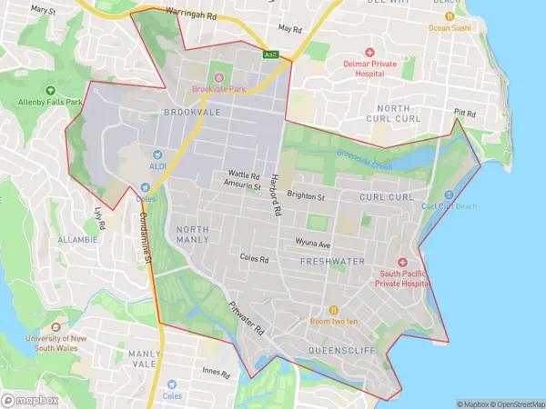
QueenscliffQueenscliff Suburb Area Map (Polygon)

Queenscliff Introduction
Queenscliff is a historic seaside town located on the northern beaches of Sydney, New South Wales, Australia. It is known for its stunning coastal scenery, including the iconic Queenscliff Bridge, which spans the narrowest point of the harbour and offers breathtaking views of the ocean. The town is also home to a rich cultural heritage, with several historic buildings and museums, including the Queenscliff Museum and the Queenscliff Historic Cottage Museum.State Name
City or Big Region
District or Regional Area
Suburb Name
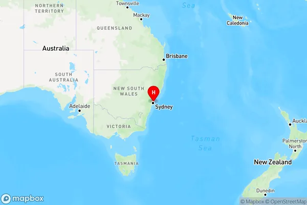
Queenscliff Region Map

Country
Main Region in AU
R1Coordinates
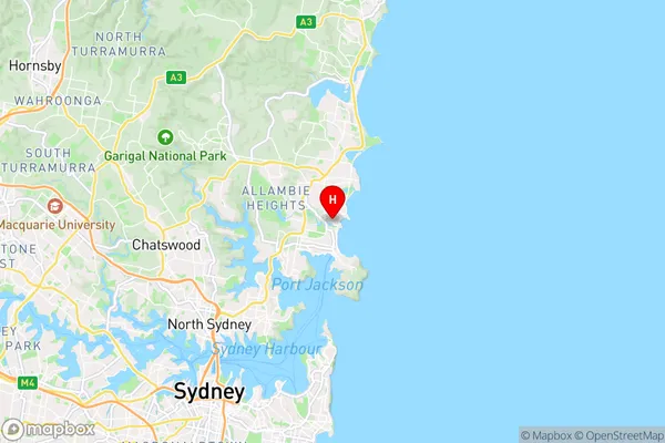
-33.7825,151.284722 (latitude/longitude)Queenscliff Area Map (Street)

Longitude
151.28494Latitude
-33.776781Queenscliff Elevation
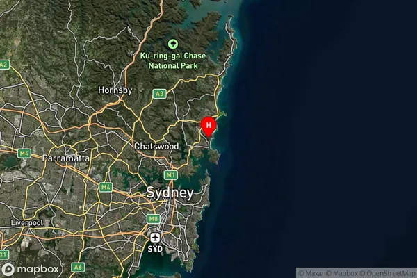
about 18.67 meters height above sea level (Altitude)Queenscliff Suburb Map (Satellite)

Distances
The distance from Queenscliff, Sydney - Northern Beaches, NSW to AU Greater Capital CitiesSA1 Code 2011
12203142948SA1 Code 2016
12203142948SA2 Code
122031429SA3 Code
12203SA4 Code
122RA 2011
1RA 2016
1MMM 2015
1MMM 2019
1Charge Zone
N1LGA Region
MosmanLGA Code
15350Electorate
Warringah