Killarney Heights Area, Killarney Heights Postcode(2087) & Map in Killarney Heights, Sydney - Northern Beaches, NSW
Killarney Heights Area, Killarney Heights Postcode(2087) & Map in Killarney Heights, Sydney - Northern Beaches, NSW, AU, Postcode: 2087
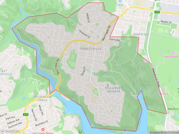
Killarney Heights, Forestville - Killarney Heights, Warringah, Sydney - Northern Beaches, New South Wales, Australia, 2087
Killarney Heights Postcode
Area Name
Killarney HeightsKillarney Heights Suburb Area Map (Polygon)
Killarney Heights Introduction
Killarney Heights is a suburb in the Northern Beaches of Sydney, in New South Wales, Australia. It is located 12 kilometers north of the Sydney central business district and is part of the Northern Beaches Council. The suburb is known for its scenic views, including the Ku-ring-gai Chase National Park and the Garigal National Park. It has a population of around 11,000 people and is home to a variety of housing types, including apartments, townhouses, and detached homes.State Name
City or Big Region
District or Regional Area
Suburb Name
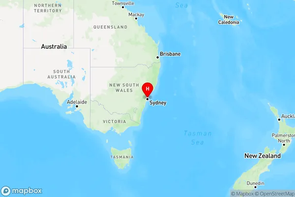
Killarney Heights Region Map
Country
Main Region in AU
R1Coordinates
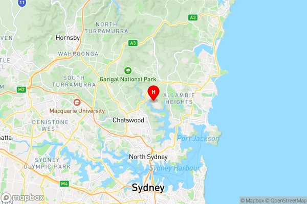
-33.7742,151.2155 (latitude/longitude)Killarney Heights Area Map (Street)
Longitude
151.210531Latitude
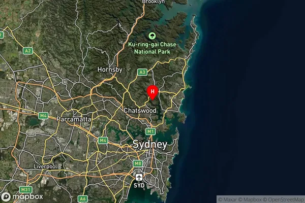
-33.766093Killarney Heights Suburb Map (Satellite)
Distances
The distance from Killarney Heights, Sydney - Northern Beaches, NSW to AU Greater Capital CitiesSA1 Code 2011
12203142708SA1 Code 2016
12203142708SA2 Code
122031427SA3 Code
12203SA4 Code
122RA 2011
1RA 2016
1MMM 2015
1MMM 2019
1Charge Zone
N1LGA Region
WilloughbyLGA Code
18250Electorate
Warringah