Allambie Heights Area, Allambie Heights Postcode(2100) & Map in Allambie Heights, Sydney - Northern Beaches, NSW
Allambie Heights Area, Allambie Heights Postcode(2100) & Map in Allambie Heights, Sydney - Northern Beaches, NSW, AU, Postcode: 2100
Allambie Heights, Manly Vale - Allambie Heights, Warringah, Sydney - Northern Beaches, New South Wales, Australia, 2100
Allambie Heights Postcode
Area Name
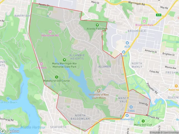
Allambie HeightsAllambie Heights Suburb Area Map (Polygon)

Allambie Heights Introduction
Allambie Heights is a suburb in northern Sydney, known for its leafy streets, parks, and convenient location. It is located between the suburbs of Manly and Dee Why and is bordered by the Pacific Ocean and the Warringah Freeway. The area has a rich history and is home to several historic buildings, including the Allambie Heights Public School and the Allambie Heights Village Hall. It is also known for its vibrant community, with a variety of shops, cafes, and restaurants.State Name
City or Big Region
District or Regional Area
Suburb Name
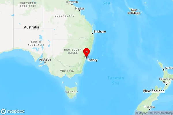
Allambie Heights Region Map

Country
Main Region in AU
R1Coordinates
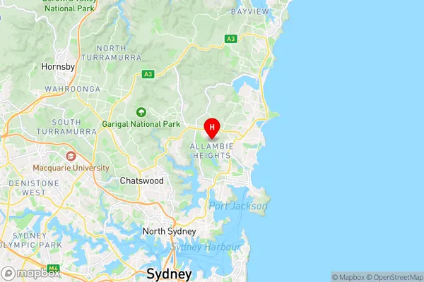
-33.7624,151.25 (latitude/longitude)Allambie Heights Area Map (Street)

Longitude
151.257781Latitude
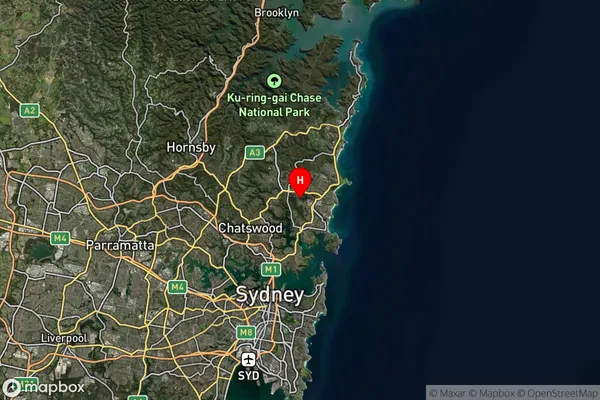
-33.766409Allambie Heights Suburb Map (Satellite)

Distances
The distance from Allambie Heights, Sydney - Northern Beaches, NSW to AU Greater Capital CitiesSA1 Code 2011
12203143014SA1 Code 2016
12203143014SA2 Code
122031430SA3 Code
12203SA4 Code
122RA 2011
1RA 2016
1MMM 2015
1MMM 2019
1Charge Zone
N1LGA Region
WilloughbyLGA Code
18250Electorate
Warringah