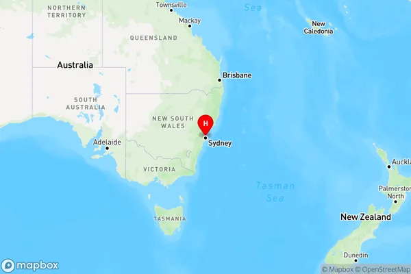
Frenchs Forest Area, Frenchs Forest Postcode(2086) & Map in Frenchs Forest, Sydney - Northern Beaches, NSW
Frenchs Forest Area, Frenchs Forest Postcode(2086) & Map in Frenchs Forest, Sydney - Northern Beaches, NSW, AU, Postcode: 2086
Frenchs Forest, Frenchs Forest - Belrose, Warringah, Sydney - Northern Beaches, New South Wales, Australia, 2086
Frenchs Forest Postcode
Area Name
Frenchs ForestFrenchs Forest Suburb Area Map (Polygon)

Frenchs Forest Introduction
Frenchs Forest is a suburb in Sydney's northern beaches, located 12 kilometres north of the city centre. It is known for its lush green forests, scenic bushwalks, and beautiful beaches. The suburb has a rich history, with evidence of indigenous settlement dating back to 10,000 years ago. It was named after the French Governor of New France, Jean de Brébeuf, who landed in Botany Bay in 1606. Today, Frenchs Forest is a popular residential area with a mix of high-rise apartments and detached houses. It is surrounded by parks and reserves, including the Ku-ring-gai Chase National Park and the Garigal National Park.State Name
City or Big Region
District or Regional Area
Suburb Name
Frenchs Forest Region Map

Country
Main Region in AU
R1Coordinates
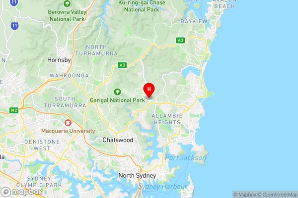
-33.7473073,151.2248157 (latitude/longitude)Frenchs Forest Area Map (Street)

Longitude
151.229211Latitude
-33.75185Frenchs Forest Elevation
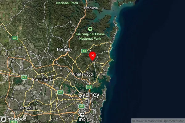
about 153.61 meters height above sea level (Altitude)Frenchs Forest Suburb Map (Satellite)

Distances
The distance from Frenchs Forest, Sydney - Northern Beaches, NSW to AU Greater Capital CitiesSA1 Code 2011
12203142802SA1 Code 2016
12203142802SA2 Code
122031428SA3 Code
12203SA4 Code
122RA 2011
1RA 2016
1MMM 2015
1MMM 2019
1Charge Zone
N1LGA Region
WilloughbyLGA Code
18250Electorate
Warringah