Harbord Area, Harbord Postcode(2096) & Map in Harbord, Sydney - Northern Beaches, NSW
Harbord Area, Harbord Postcode(2096) & Map in Harbord, Sydney - Northern Beaches, NSW, AU, Postcode: 2096
Harbord, Freshwater - Brookvale, Warringah, Sydney - Northern Beaches, New South Wales, Australia, 2096
Harbord Postcode
Area Name
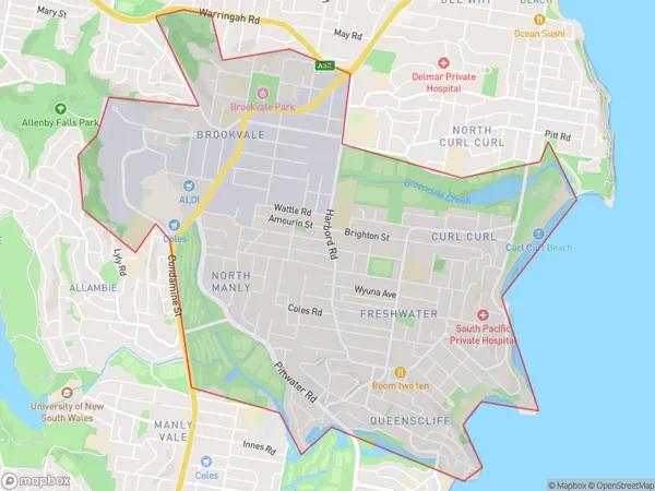
HarbordHarbord Suburb Area Map (Polygon)
Harbord Introduction
Harbord is a suburb on the northern beaches of Sydney, in New South Wales, Australia. It is located 12 kilometers north of Sydney's central business district and is part of the Northern Beaches Council. Harbord is known for its beautiful beaches, vibrant community, and historic architecture. The suburb has a population of around 11,000 people and is home to a variety of shops, cafes, and restaurants. It is also a popular destination for water sports enthusiasts, with several boat ramps and sailing clubs located in the area.State Name
City or Big Region
District or Regional Area
Suburb Name
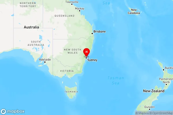
Harbord Region Map
Country
Main Region in AU
R1Coordinates
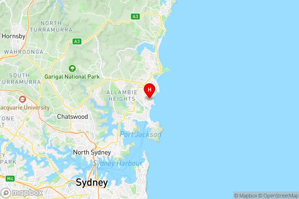
-33.7749,151.28783 (latitude/longitude)Harbord Area Map (Street)
Longitude
151.28494Latitude
-33.776781Harbord Elevation
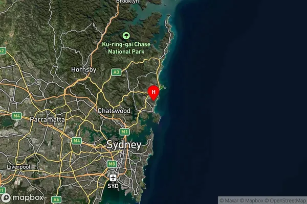
about 18.67 meters height above sea level (Altitude)Harbord Suburb Map (Satellite)
Distances
The distance from Harbord, Sydney - Northern Beaches, NSW to AU Greater Capital CitiesSA1 Code 2011
12203142908SA1 Code 2016
12203142908SA2 Code
122031429SA3 Code
12203SA4 Code
122RA 2011
1RA 2016
1MMM 2015
1MMM 2019
1Charge Zone
N1LGA Region
MosmanLGA Code
15350Electorate
Warringah