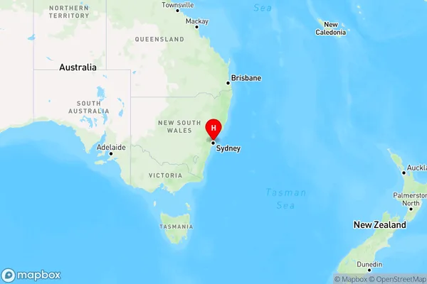
Frenchs Forest East Area, Frenchs Forest East Postcode(2086) & Map in Frenchs Forest East, Sydney - Northern Beaches, NSW
Frenchs Forest East Area, Frenchs Forest East Postcode(2086) & Map in Frenchs Forest East, Sydney - Northern Beaches, NSW, AU, Postcode: 2086
Frenchs Forest East, Frenchs Forest - Belrose, Warringah, Sydney - Northern Beaches, New South Wales, Australia, 2086
Frenchs Forest East Postcode
Area Name
Frenchs Forest EastFrenchs Forest East Suburb Area Map (Polygon)

Frenchs Forest East Introduction
Frenchs Forest East is a suburb in Sydney's northern beaches, located 13 kilometers north of the city center. It is known for its lush forests, beautiful beaches, and vibrant community. The suburb has a population of around 10,000 people and is home to a variety of shops, cafes, and restaurants. Frenchs Forest East is also a popular destination for outdoor enthusiasts, with many walking and cycling trails through the forest and access to several beaches.State Name
City or Big Region
District or Regional Area
Suburb Name
Frenchs Forest East Region Map

Country
Main Region in AU
R1Coordinates
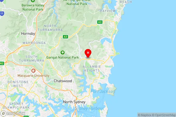
-33.7507736,151.2406985 (latitude/longitude)Frenchs Forest East Area Map (Street)

Longitude
151.229211Latitude
-33.75185Frenchs Forest East Elevation
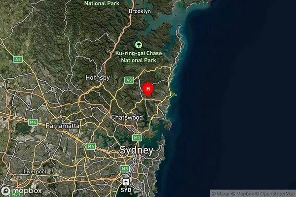
about 153.61 meters height above sea level (Altitude)Frenchs Forest East Suburb Map (Satellite)

Distances
The distance from Frenchs Forest East, Sydney - Northern Beaches, NSW to AU Greater Capital CitiesSA1 Code 2011
12203142863SA1 Code 2016
12203142863SA2 Code
122031428SA3 Code
12203SA4 Code
122RA 2011
1RA 2016
1MMM 2015
1MMM 2019
1Charge Zone
N1LGA Region
WilloughbyLGA Code
18250Electorate
Warringah