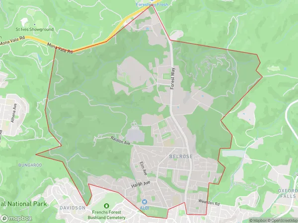
Belrose Suburbs & Region, Belrose Map & Postcodes
Belrose Suburbs & Region, Belrose Map & Postcodes in Belrose, Warringah, Sydney Northern Beaches, NSW, AU
Belrose Region
Region Name
Belrose (NSW, AU)Belrose Area
13.44 square kilometers (13.44 ㎢)Belrose Introduction
Belrose is a suburb in northern Sydney, in the state of New South Wales, Australia. It is located 16 kilometers north of the Sydney central business district and is part of the Northern Beaches Council. Belrose is known for its beautiful beaches, lush parks, and vibrant community. The suburb has a population of around 10,000 people and is home to a variety of shops, cafes, and restaurants. Belrose also has a well-regarded golf course, a sports oval, and a community center. The area is popular with families and young professionals and is surrounded by stunning natural scenery.Australia State
City or Big Region
Greater Capital City
Greater Sydney (1GSYD)District or Regional Area
Suburb Name
Belrose Suburbs
Belrose full address
Belrose, Warringah, Sydney Northern Beaches, New South Wales, NSW, Australia, SaCode: 122031692Country
Belrose, Warringah, Sydney Northern Beaches, New South Wales, NSW, Australia, SaCode: 122031692
Belrose Suburbs & Region, Belrose Map & Postcodes has 0 areas or regions above, and there are 0 Belrose suburbs below. The sa2code for the Belrose region is 122031692. Belrose area belongs to Australia's greater capital city Greater Sydney.
