Hawera Suburbs & Region, Hawera Map & Postcodes in Hawera, South Taranaki, Taranaki
Hawera Postcodes, Hawera ZipCodes, Hawera , Hawera Taranaki, Hawera Suburbs, Hawera Region, Hawera Map, Hawera Area
Hawera Region
Hawera Suburbs
Hawera is a city place type in South Taranaki, Taranaki, NZ. It contains 4 suburbs or localities.Hawera district
South TaranakiHawera Region Map
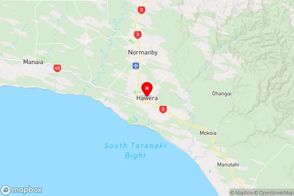
Hawera Introduction
Hawera is a small town in Taranaki, New Zealand, located on the eastern coast of the North Island. It is known for its historic buildings, including the Hawera Power Station, which is a significant landmark in the area. The town also has a popular beach and a vibrant community center. Hawera is surrounded by beautiful natural scenery, including the Taranaki Mountain Range and the Hawera Volcanic Complex, and is a popular destination for outdoor activities such as hiking, mountain biking, and fishing.Hawera Region
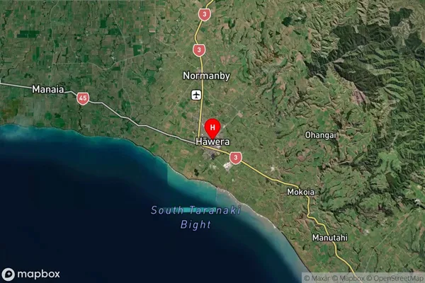
Hawera Satellite Map
Full Address
Hawera, South Taranaki, TaranakiHawera Coordinates
-39.589346,174.283721 (Latitude / Longitude)Hawera Map in NZ
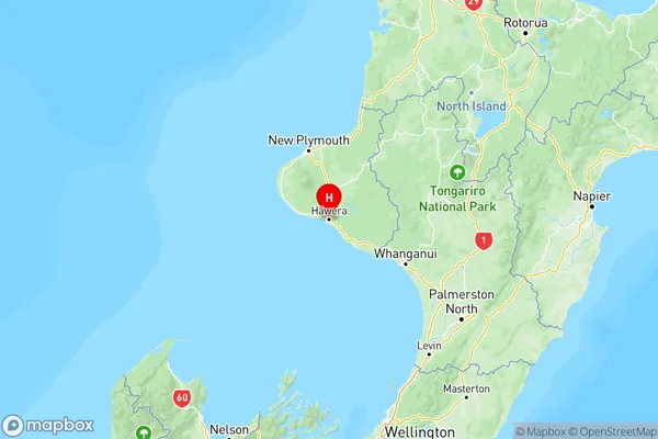
NZ Island
North IslandCountry
Hawera Suburbs (Sort by Population)
Hawera Suburbs (Sort in alphabetical)
Ararata
Kaupokonui
Matapu
Te Roti