Normanby Area, Normanby Postcode(4614) & Map in Normanby
Normanby Area, Normanby Postcode(4614) & Map in Normanby, South Taranaki District, New Zealand
Normanby, South Taranaki District, New Zealand
Normanby Postcodes
Normanby Area (estimated)
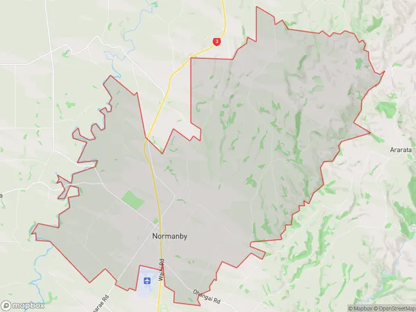
83.0 square kilometersNormanby Population (estimated)
1783 people live in Normanby, Taranaki, NZNormanby Suburb Area Map (Polygon)
Normanby Introduction
Normanby is a small rural town located in Hawera, Taranaki, New Zealand. It is known for its historic stone buildings and scenic surroundings, including the Normanby Mountain Range. The town has a population of around 1,000 people and is a popular destination for outdoor activities such as hiking, mountain biking, and hunting. The Normanby Hotel is a popular gathering place for locals and visitors alike, and the town hosts a variety of events and festivals throughout the year, including the Normanby Agricultural Show and the Normanby Classic Car Show.Region
Major City
Suburb Name
NormanbyOther Name(s)
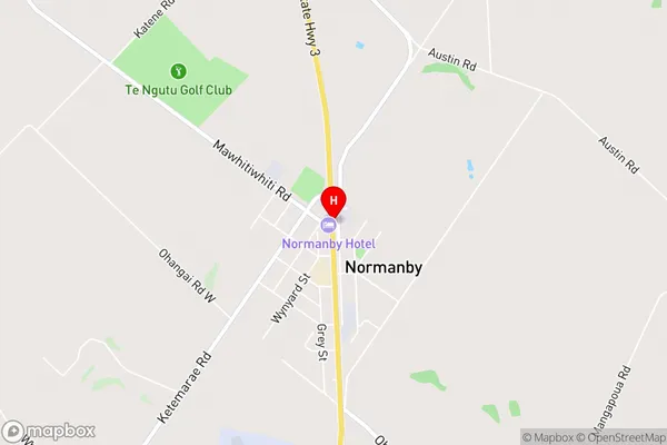
Fraser RoadNormanby Area Map (Street)
Local Authority
South Taranaki DistrictFull Address
Normanby, South Taranaki District, New ZealandAddress Type
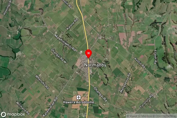
Suburb in Town HaweraNormanby Suburb Map (Satellite)
Country
Main Region in AU
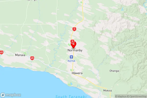
TaranakiNormanby Region Map
Coordinates
-39.5373412,174.2737842 (latitude/longitude)Distances
The distance from Normanby, Hawera, South Taranaki District to NZ Top 10 Cities