Kaponga Area, Kaponga Postcode(4697) & Map in Kaponga
Kaponga Area, Kaponga Postcode(4697) & Map in Kaponga, South Taranaki District, New Zealand
Kaponga, South Taranaki District, New Zealand
Kaponga Area (estimated)
74.9 square kilometersKaponga Population (estimated)
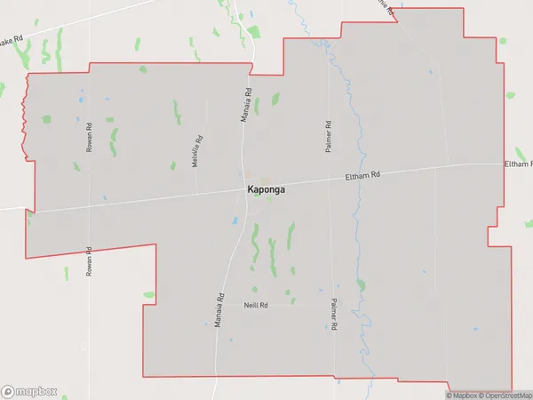
744 people live in Kaponga, Taranaki, NZKaponga Suburb Area Map (Polygon)
Kaponga Introduction
Kaponga is a small town in the Hawera region of New Zealand's Taranaki Province. It is well-known for its greenstone and fossil deposits, which have been mined since the 1870s. The town also has a historic stone church and a museum that showcases the area's rich cultural heritage. Kaponga is surrounded by beautiful natural scenery, including the Kaponga Forest Park and the Kaponga Scenic Reserve.Region
Major City
Suburb Name
KapongaOther Name(s)
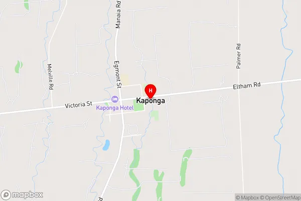
MoeroaKaponga Area Map (Street)
Local Authority
South Taranaki DistrictFull Address
Kaponga, South Taranaki District, New ZealandAddress Type
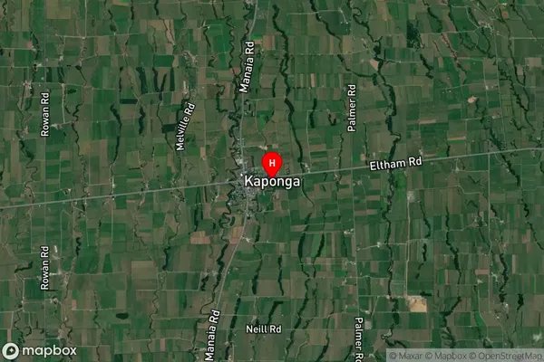
Locality in Town HaweraKaponga Suburb Map (Satellite)
Country
Main Region in AU
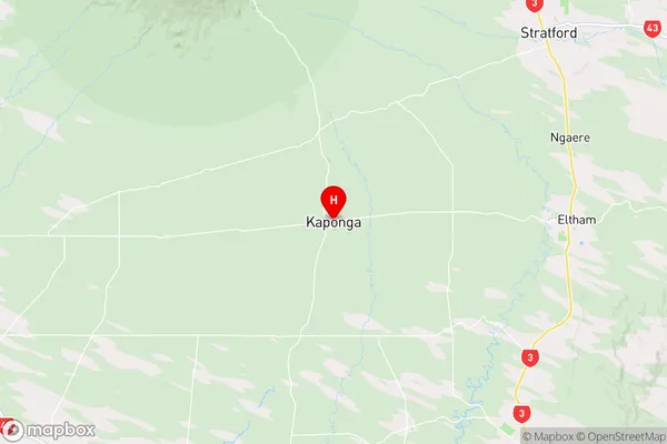
TaranakiKaponga Region Map
Coordinates
-39.4293397,174.1544821 (latitude/longitude)Distances
The distance from Kaponga, Hawera, South Taranaki District to NZ Top 10 Cities