Okaiawa Area, Okaiawa Postcode(4671) & Map in Okaiawa
Okaiawa Area, Okaiawa Postcode(4671) & Map in Okaiawa, South Taranaki District, New Zealand
Okaiawa, South Taranaki District, New Zealand
Okaiawa Postcodes
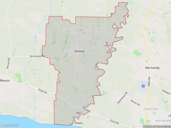
Okaiawa Area (estimated)
54.0 square kilometersOkaiawa Population (estimated)
447 people live in Okaiawa, Taranaki, NZOkaiawa Suburb Area Map (Polygon)
Okaiawa Introduction
Okaiawa is a small rural community located in the Hawera region of Taranaki, New Zealand. It is known for its beautiful natural surroundings, including rolling hills, lush green valleys, and stunning coastal views. The community has a strong sense of community and is home to a variety of local businesses and services, including a primary school, a post office, and a convenience store. Okaiawa is also home to a number of historic buildings, including the Okaiawa Hotel, which was built in the 1880s and is a popular spot for locals and visitors alike.Region
Major City
Suburb Name
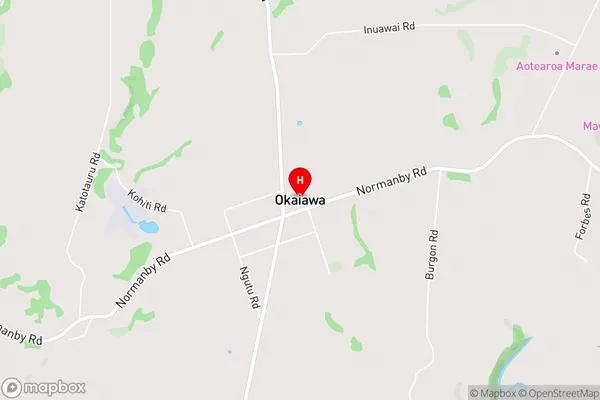
OkaiawaOkaiawa Area Map (Street)
Local Authority
South Taranaki DistrictFull Address
Okaiawa, South Taranaki District, New ZealandAddress Type
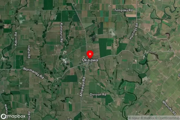
Locality in Town HaweraOkaiawa Suburb Map (Satellite)
Country
Main Region in AU
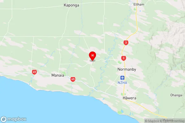
TaranakiOkaiawa Region Map
Coordinates
-39.5266035,174.201558 (latitude/longitude)Distances
The distance from Okaiawa, Hawera, South Taranaki District to NZ Top 10 Cities