Riverlea Area, Riverlea Postcode(4679) & Map in Riverlea
Riverlea Area, Riverlea Postcode(4679) & Map in Riverlea, South Taranaki District, New Zealand
Riverlea, South Taranaki District, New Zealand
Riverlea Postcodes
Riverlea Area (estimated)
20.4 square kilometersRiverlea Population (estimated)
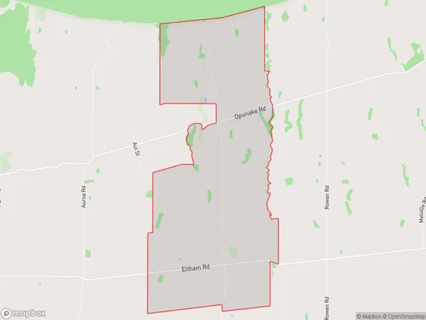
111 people live in Riverlea, Taranaki, NZRiverlea Suburb Area Map (Polygon)
Riverlea Introduction
Riverlea is a small rural town located in Hawera, Taranaki, New Zealand. It is known for its beautiful green surroundings, including the Riverlea Park and the Riverlea Golf Course. The town has a population of around 1,000 people and is surrounded by farmland and picturesque countryside. Riverlea is a popular destination for tourists and locals alike, with many attractions and activities to enjoy.Region
Major City
Suburb Name
RiverleaOther Name(s)
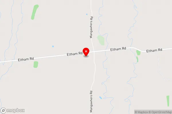
MoeroaRiverlea Area Map (Street)
Local Authority
South Taranaki DistrictFull Address
Riverlea, South Taranaki District, New ZealandAddress Type
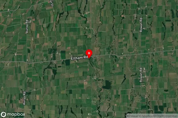
Locality in Town HaweraRiverlea Suburb Map (Satellite)
Country
Main Region in AU
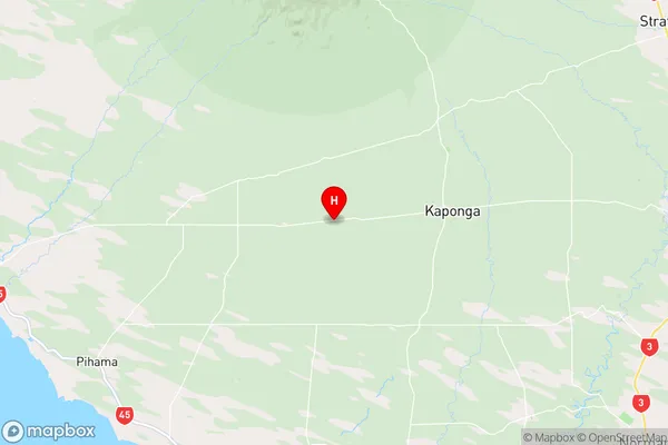
TaranakiRiverlea Region Map
Coordinates
-39.4349116,174.081444 (latitude/longitude)Distances
The distance from Riverlea, Hawera, South Taranaki District to NZ Top 10 Cities