Ohawe Area, Ohawe Postcode & Map in Ohawe
Ohawe Area, Ohawe Postcode & Map in Ohawe, South Taranaki District, New Zealand
Ohawe, South Taranaki District, New Zealand
Ohawe Area (estimated)
2.2 square kilometersOhawe Population (estimated)
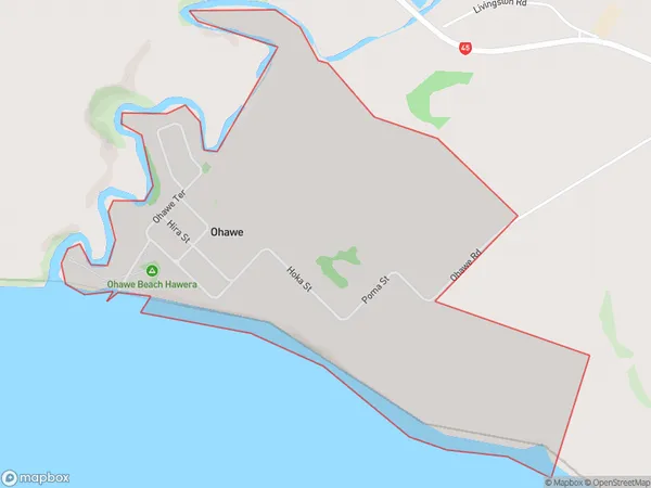
248 people live in Ohawe, Taranaki, NZOhawe Suburb Area Map (Polygon)
Ohawe Introduction
Ohawe is a small rural community located in the Hawera region of Taranaki, New Zealand. It is known for its beautiful natural surroundings, including the Ohawe Beach and the Ohawe Forest Park. The community has a strong Maori heritage and is home to a number of historic buildings and landmarks. Ohawe is a popular destination for outdoor enthusiasts, with many opportunities for hiking, cycling, and fishing.Region
Major City
Suburb Name
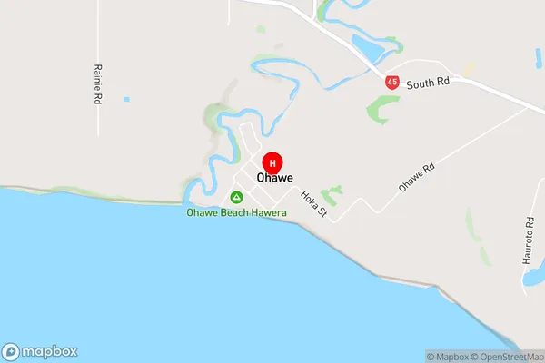
OhaweOhawe Area Map (Street)
Local Authority
South Taranaki DistrictFull Address
Ohawe, South Taranaki District, New ZealandAddress Type
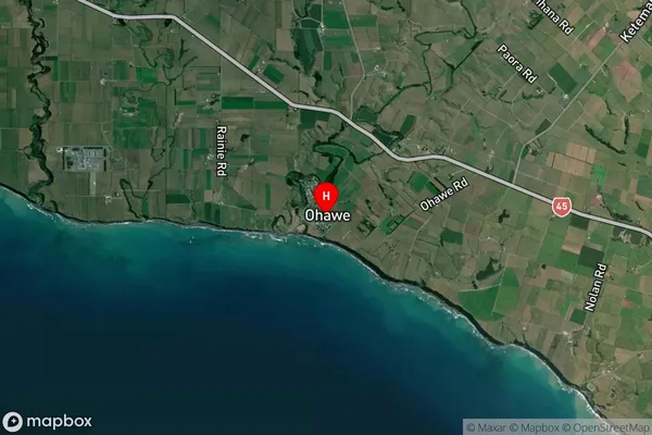
Locality in Town HaweraOhawe Suburb Map (Satellite)
Country
Main Region in AU
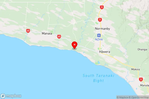
TaranakiOhawe Region Map
Coordinates
-39.5846892,174.2005171 (latitude/longitude)Distances
The distance from Ohawe, Hawera, South Taranaki District to NZ Top 10 Cities