Ohangai Area, Ohangai Postcode(4672) & Map in Ohangai
Ohangai Area, Ohangai Postcode(4672) & Map in Ohangai, South Taranaki District, New Zealand
Ohangai, South Taranaki District, New Zealand
Ohangai Postcodes
Ohangai Area (estimated)
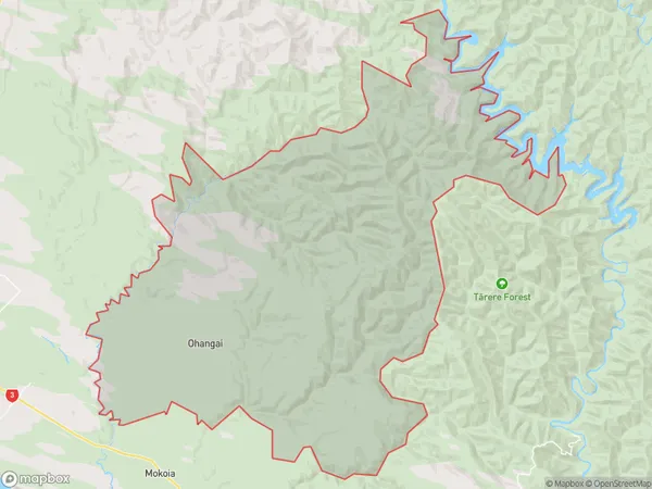
164.5 square kilometersOhangai Population (estimated)
231 people live in Ohangai, Taranaki, NZOhangai Suburb Area Map (Polygon)
Ohangai Introduction
Ohangai is a small rural community located in Hawera, Taranaki, New Zealand. It is known for its historic stone buildings and scenic surroundings, including the Ohangai Falls and the Ohangai River. The community has a population of around 100 people and is situated on the banks of the Ohangai River, approximately 30 minutes' drive from Hawera.Region
Major City
Suburb Name
OhangaiOther Name(s)
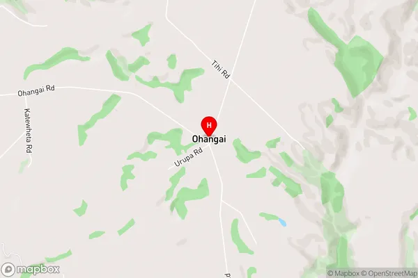
Meremere, WhakamaraOhangai Area Map (Street)
Local Authority
South Taranaki DistrictFull Address
Ohangai, South Taranaki District, New ZealandAddress Type
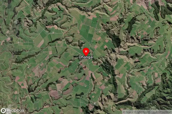
Locality in Town HaweraOhangai Suburb Map (Satellite)
Country
Main Region in AU
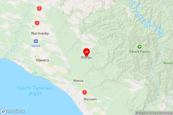
TaranakiOhangai Region Map
Coordinates
-39.5844741,174.3885183 (latitude/longitude)Distances
The distance from Ohangai, Hawera, South Taranaki District to NZ Top 10 Cities