Matapu Suburbs & Region, Matapu Map & Postcodes in Matapu, Hawera, Taranaki
Matapu Postcodes, Matapu ZipCodes, Matapu , Matapu Taranaki, Matapu Suburbs, Matapu Region, Matapu Map, Matapu Area
Matapu Region
Matapu Suburbs
Matapu is a suburb place type in Hawera, Taranaki, NZ. It contains 0 suburbs or localities.Matapu Postcodes
Matapu district
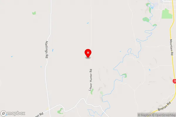
South TaranakiMatapu Region Map
Matapu Introduction
Matapu Island is a volcanic cone located off the coast of Taranaki, New Zealand. It is known for its stunning coastal views, rich biodiversity, and unique geological features. The island is a popular destination for hiking, birdwatching, and exploring the natural beauty of the region. The island is also home to a large colony of New Zealand fur seals, which can be seen basking in the sun on the rocks and swimming in the surrounding waters.Matapu Region
Matapu City
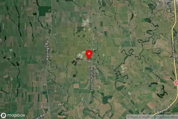
Matapu Satellite Map
Full Address
Matapu, Hawera, TaranakiMatapu Coordinates
-39.456371,174.249907 (Latitude / Longitude)Matapu Map in NZ
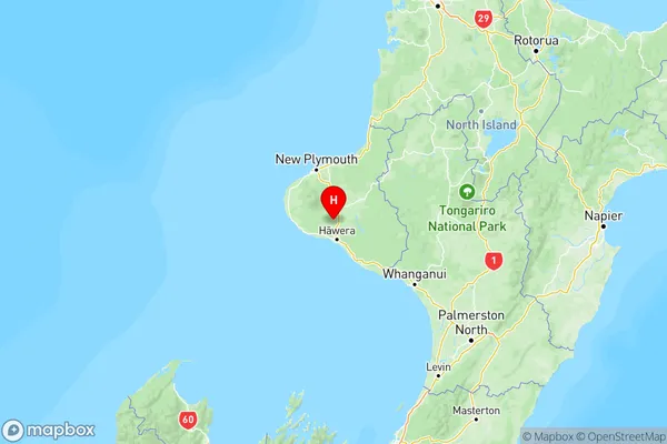
NZ Island
North IslandCountry
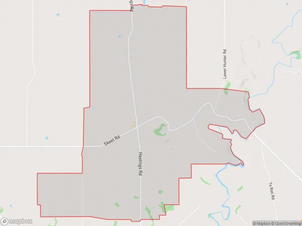
Matapu Area Map (Polygon)
Name
MatapuAdditional Name
Local Authority
South Taranaki District
Matapu Suburbs (Sort by Population)
Matapu suburb has around
18.4 square
kilometers.There are more than 102 people (estimated)
live in Matapu, Hawera, Taranaki, New Zealand.