Otakeho Area, Otakeho Postcode & Map in Otakeho
Otakeho Area, Otakeho Postcode & Map in Otakeho, South Taranaki District, New Zealand
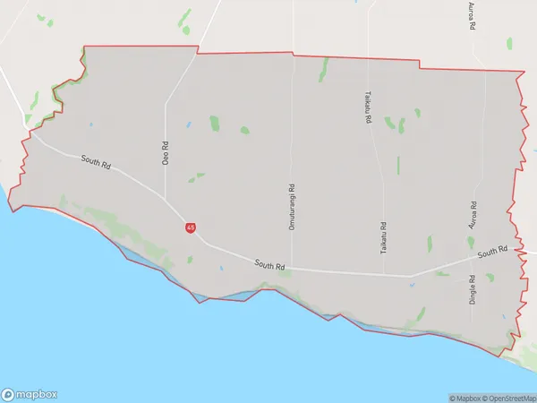
Otakeho, South Taranaki District, New Zealand
Otakeho Area (estimated)
44.1 square kilometersOtakeho Population (estimated)
223 people live in Otakeho, Taranaki, NZOtakeho Suburb Area Map (Polygon)
Otakeho Introduction
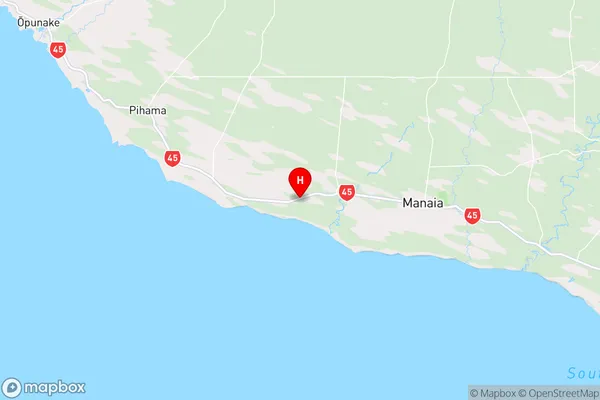
Otakeho is a small rural community in the Taranaki region of New Zealand. It is located on State Highway 3 and is surrounded by farmland and native bush. The community has a primary school, a post office, and a small store. Otakeho is known for its scenic views and peaceful atmosphere, and is a popular destination for outdoor activities such as hiking, cycling, and fishing.Region
Major City
Suburb Name
OtakehoOther Name(s)
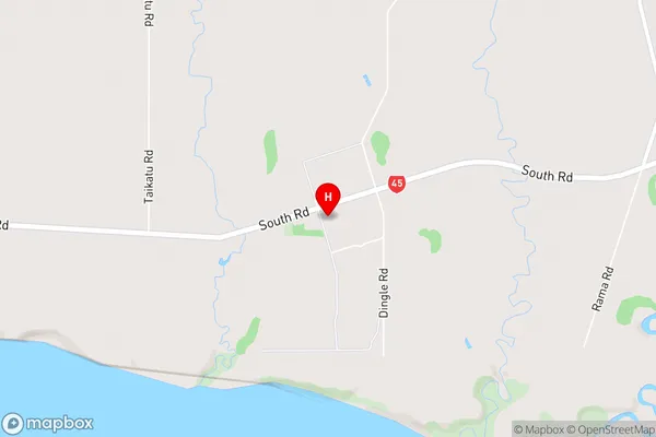
OeoOtakeho Area Map (Street)
Local Authority
South Taranaki DistrictFull Address
Otakeho, South Taranaki District, New ZealandAddress Type
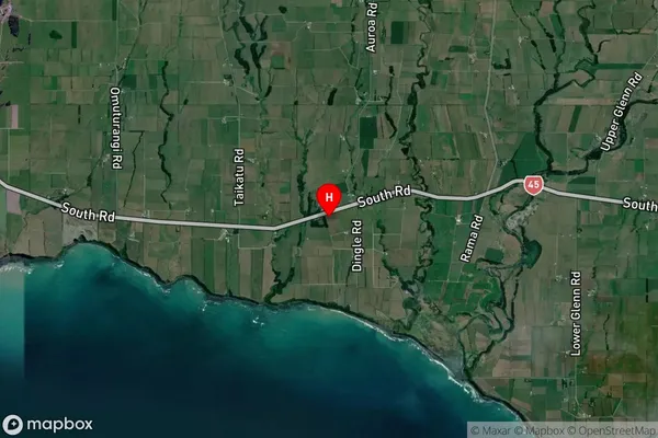
Locality in Town HaweraOtakeho Suburb Map (Satellite)
Country
Main Region in AU
TaranakiOtakeho Region Map
Coordinates
-39.5487369,174.0398182 (latitude/longitude)Distances
The distance from Otakeho, Hawera, South Taranaki District to NZ Top 10 Cities