Ararata Area, Ararata Postcode(4674) & Map in Ararata
Ararata Area, Ararata Postcode(4674) & Map in Ararata, South Taranaki District, New Zealand
Ararata, South Taranaki District, New Zealand
Ararata Postcodes
Ararata Area (estimated)
82.0 square kilometersArarata Population (estimated)
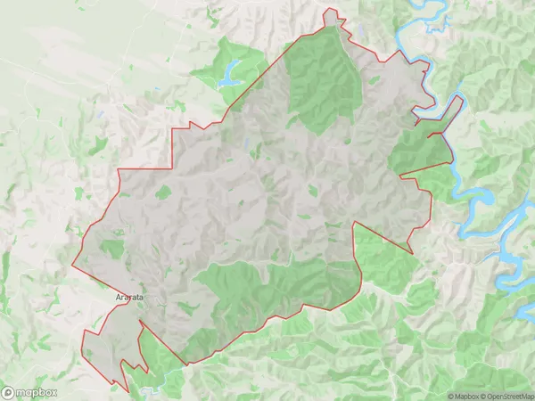
67 people live in Ararata, Taranaki, NZArarata Suburb Area Map (Polygon)
Ararata Introduction
Ararata is a small rural community located in the Hawera region of Taranaki, New Zealand. It is known for its scenic rural landscapes, historic buildings, and strong community spirit. The area is home to a variety of agricultural businesses, including sheep farming and horticulture, and is surrounded by beautiful natural attractions such as the Mount Taranaki and the Ohura River.Region
Major City
Suburb Name
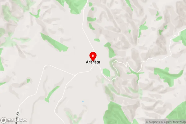
ArarataArarata Area Map (Street)
Local Authority
South Taranaki DistrictFull Address
Ararata, South Taranaki District, New ZealandAddress Type
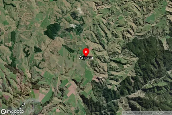
Locality in Town HaweraArarata Suburb Map (Satellite)
Country
Main Region in AU
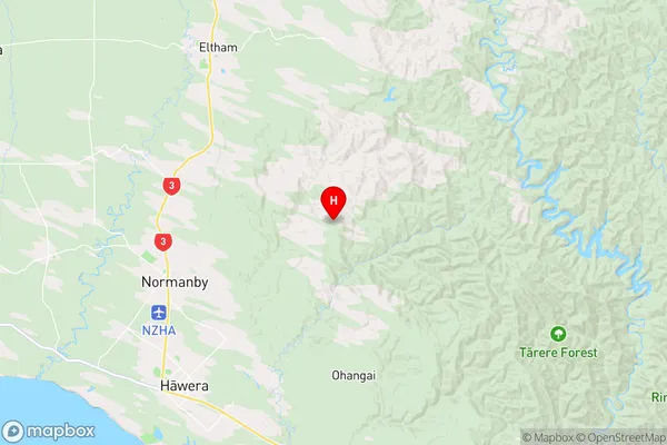
TaranakiArarata Region Map
Coordinates
-39.5117056,174.3759441 (latitude/longitude)Distances
The distance from Ararata, Hawera, South Taranaki District to NZ Top 10 Cities