Te Roti Suburbs & Region, Te Roti Map & Postcodes in Te Roti, Hawera, Taranaki
Te Roti Postcodes, Te Roti ZipCodes, Te Roti , Te Roti Taranaki, Te Roti Suburbs, Te Roti Region, Te Roti Map, Te Roti Area
Te Roti Region
Te Roti Suburbs
Te Roti is a suburb place type in Hawera, Taranaki, NZ. It contains 0 suburbs or localities.Te Roti Postcodes
Te Roti district
South TaranakiTe Roti Region Map

Te Roti Introduction
Te Roti is a small town located in the Taranaki region of New Zealand. It is known for its stunning natural scenery, including the Mt. Taranaki volcano, and for its traditional Maori culture. The town has a population of around 500 people and is located on the banks of the Ohura River. Te Roti is a popular destination for tourists and outdoor enthusiasts, with many opportunities for hiking, mountain biking, and fishing. The town also has a cultural center that showcases traditional Maori art and crafts, as well as a museum that tells the story of the region's history and culture.Te Roti Region
Te Roti City
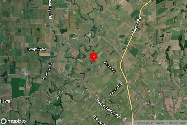
Te Roti Satellite Map
Full Address
Te Roti, Hawera, TaranakiTe Roti Coordinates
-39.510308,174.25201 (Latitude / Longitude)Te Roti Map in NZ

NZ Island
North IslandCountry
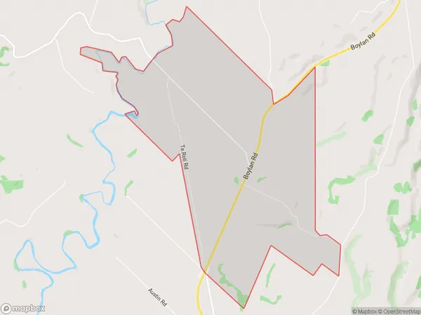
Te Roti Area Map (Polygon)
Name
Te RotiAdditional Name
Local Authority
South Taranaki District
Te Roti Suburbs (Sort by Population)
Te Roti suburb has around
8.6 square
kilometers.There are more than 59 people (estimated)
live in Te Roti, Hawera, Taranaki, New Zealand.