Tokanui Suburbs & Region, Tokanui Map & Postcodes in Tokanui, Waipa, Waikato
Tokanui Postcodes, Tokanui ZipCodes, Tokanui , Tokanui Waikato, Tokanui Suburbs, Tokanui Region, Tokanui Map, Tokanui Area
Tokanui Region (Te Mawhai Region)
Tokanui Suburbs
Tokanui is a suburb place type in Waipa, Waikato, NZ. It contains 12 suburbs or localities.Tokanui district
WaipaTokanui Introduction
Tokanui is a small town in Waikato, New Zealand, located on the banks of the Tokanui River. It is known for its beautiful natural surroundings, including the Tokanui Forest Park and the nearby Mount Ruapehu. The town has a population of around 5,000 people and is a popular destination for outdoor activities such as hiking, skiing, and fishing. It is also home to a number of historic buildings, including the St. Patrick's Cathedral and the Tokanui Hotel.Tokanui Region
Tokanui City
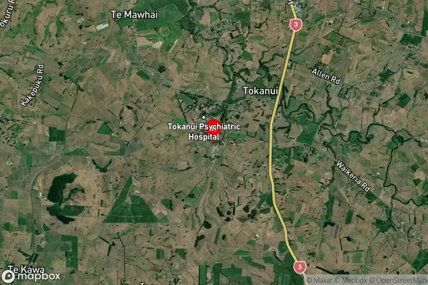
Tokanui Satellite Map

Full Address
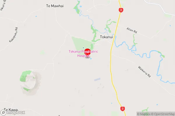
Tokanui, Waipa, WaikatoTokanui Coordinates
-38.070761,175.326856 (Latitude / Longitude)Tokanui Map in NZ

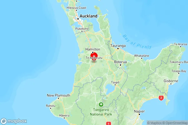
NZ Island
North IslandCountry
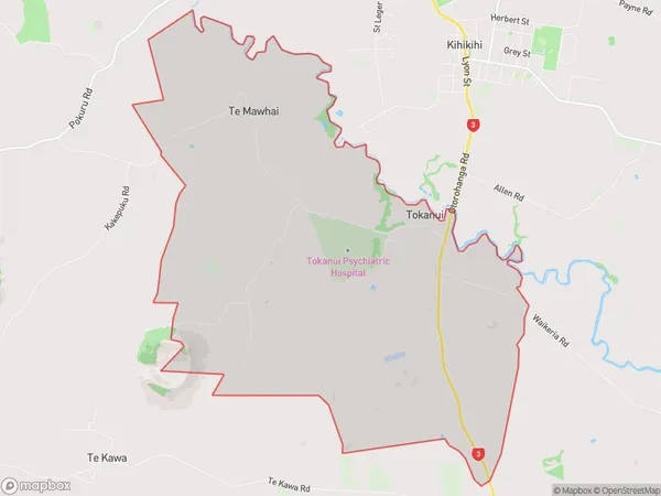
Tokanui Area Map (Polygon)

Name
TokanuiAdditional Name
Te MawhaiLocal Authority
Otorohanga District, Waipa District (Maori Name: Ōtorohanga District, Waipa District)
Tokanui Suburbs (Sort by Population)
Tokanui
Tokanui - 210Waimahaka
Waimahaka - 141Quarry Hills
Quarry Hills - 82Otara
Otara - 77Fortrose
Fortrose - 72Curio Bay
Curio Bay - 48Waikawa
Waikawa - 47Waikawa Valley
Waikawa Valley - 42Slope Point
Slope Point - 26Niagara
Niagara - 26Haldane
Haldane - 24Progress Valley
Progress Valley - 19
