Waimahaka Area, Waimahaka Postcode & Map in Waimahaka
Waimahaka Area, Waimahaka Postcode & Map in Waimahaka, Southland District, New Zealand
Waimahaka, Southland District, New Zealand
Waimahaka Area (estimated)
81.9 square kilometersWaimahaka Population (estimated)
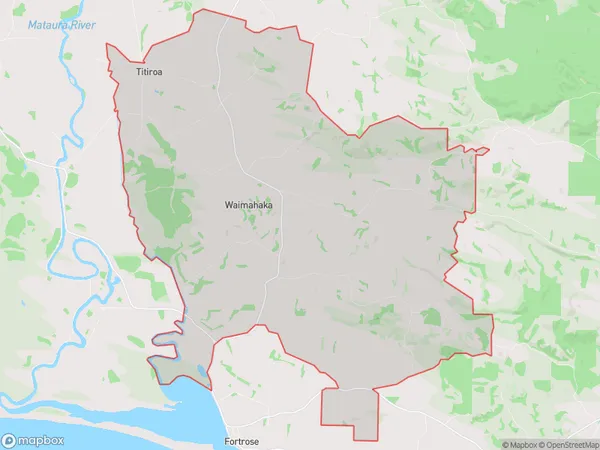
141 people live in Waimahaka, Waihopai Toetoe Community, NZWaimahaka Suburb Area Map (Polygon)
Waimahaka Introduction
Waimahaka is a small rural community in Southland, New Zealand, located on the banks of the Waimahaka River. It is known for its stunning natural scenery, including waterfalls, forests, and mountains. The community has a population of around 100 people and is home to a primary school, a church, and a few small businesses. Waimahaka is a popular destination for outdoor enthusiasts, with many hiking and tramping tracks in the surrounding area. The community also hosts the Waimahaka Festival, a cultural event that attracts visitors from all over New Zealand.Region
Major City
Suburb Name
WaimahakaOther Name(s)
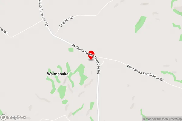
Te Peka, TitiroaWaimahaka Area Map (Street)
Local Authority
Southland DistrictFull Address
Waimahaka, Southland District, New ZealandAddress Type
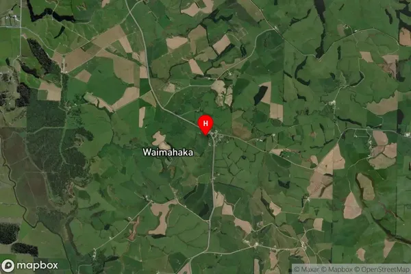
Locality in Major Locality TokanuiWaimahaka Suburb Map (Satellite)
Country
Main Region in AU
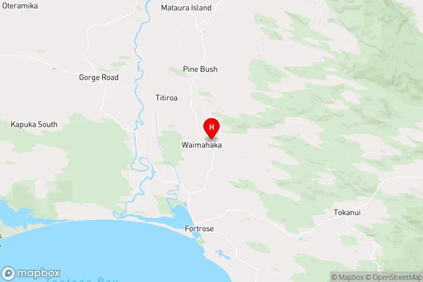
SouthlandWaimahaka Region Map
Coordinates
-46.5164295,168.8127543 (latitude/longitude)Distances
The distance from Waimahaka, Tokanui, Southland District to NZ Top 10 Cities