Waikawa Valley Area, Waikawa Valley Postcode & Map in Waikawa Valley
Waikawa Valley Area, Waikawa Valley Postcode & Map in Waikawa Valley, Southland District, New Zealand
Waikawa Valley, Southland District, New Zealand
Waikawa Valley Area (estimated)
60.3 square kilometersWaikawa Valley Population (estimated)
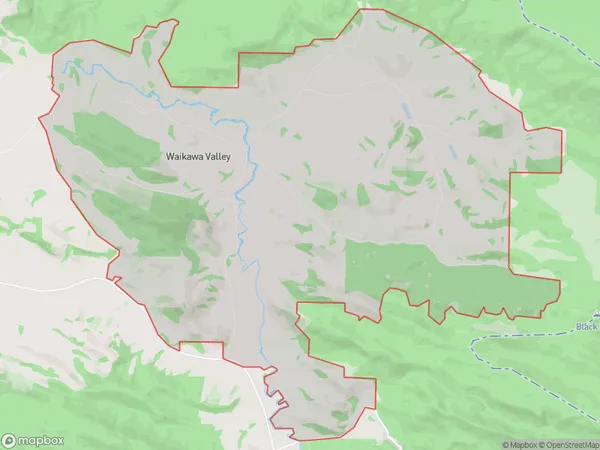
42 people live in Waikawa Valley, Waihopai Toetoe Community, NZWaikawa Valley Suburb Area Map (Polygon)
Waikawa Valley Introduction
Waikawa Valley is a picturesque rural community located in the heart of Southland, New Zealand. It is known for its stunning natural scenery, including rolling hills, lush green forests, and crystal-clear rivers. The area is popular with outdoor enthusiasts, with many opportunities for hiking, fishing, and hunting. The village also has a vibrant community with a local school, a church, and a variety of shops and cafes.Region
Major City
Suburb Name
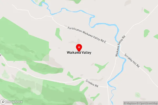
Waikawa ValleyWaikawa Valley Area Map (Street)
Local Authority
Southland DistrictFull Address
Waikawa Valley, Southland District, New ZealandAddress Type
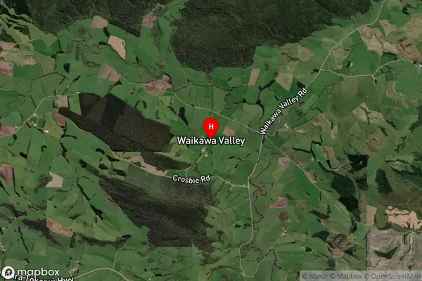
Locality in Major Locality TokanuiWaikawa Valley Suburb Map (Satellite)
Country
Main Region in AU
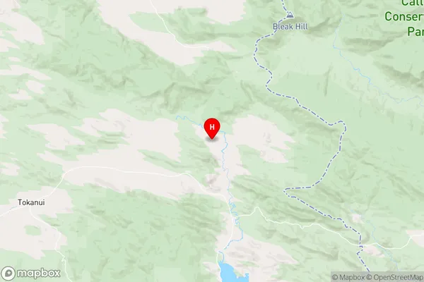
SouthlandWaikawa Valley Region Map
Coordinates
-46.52317,169.12057 (latitude/longitude)Distances
The distance from Waikawa Valley, Tokanui, Southland District to NZ Top 10 Cities