Quarry Hills Area, Quarry Hills Postcode & Map in Quarry Hills
Quarry Hills Area, Quarry Hills Postcode & Map in Quarry Hills, Southland District, New Zealand
Quarry Hills, Southland District, New Zealand
Quarry Hills Area (estimated)
80.0 square kilometersQuarry Hills Population (estimated)
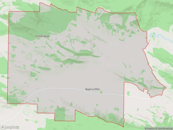
82 people live in Quarry Hills, Waihopai Toetoe Community, NZQuarry Hills Suburb Area Map (Polygon)
Quarry Hills Introduction
Quarry Hills is a residential suburb of Tokanui, Southland, New Zealand. It is located on the banks of the Tokanui River, approximately 10 kilometers south of the city center. The suburb was developed in the 1960s and 1970s and is known for its spacious homes, peaceful surroundings, and scenic views. It is a popular area for families and retirees and has a variety of amenities, including a golf course, a swimming pool, and a community center.Region
Major City
Suburb Name
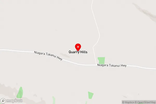
Quarry HillsQuarry Hills Area Map (Street)
Local Authority
Southland DistrictFull Address
Quarry Hills, Southland District, New ZealandAddress Type
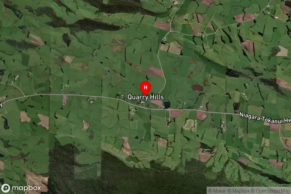
Locality in Major Locality TokanuiQuarry Hills Suburb Map (Satellite)
Country
Main Region in AU
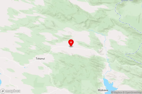
SouthlandQuarry Hills Region Map
Coordinates
-46.54103,169.03405 (latitude/longitude)Distances
The distance from Quarry Hills, Tokanui, Southland District to NZ Top 10 Cities