Tokanui Area, Tokanui Postcode & Map in Tokanui
Tokanui Area, Tokanui Postcode & Map in Tokanui, Southland District, New Zealand
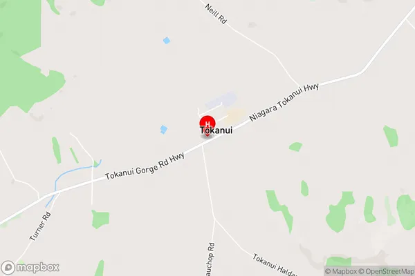
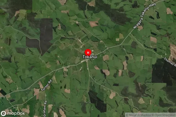
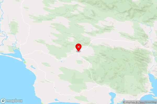
Tokanui, Southland District, New Zealand
Tokanui Area (estimated)
-1.2 square kilometersTokanui Population (estimated)
210 people live in Tokanui, Waihopai Toetoe Community, NZTokanui Suburb Area Map (Polygon)
Not available for nowTokanui Introduction
Tokanui is a small town in Southland, New Zealand, located on the banks of the Tokanui River. It is known for its scenic beauty, including the famous "Blue Pools" and the "Tokanui Falls." The town has a population of around 2,000 people and is a popular tourist destination. It is also home to a number of historic buildings, including the Tokanui Hotel, which was built in 1878.Region
Major City
Suburb Name
TokanuiTokanui Area Map (Street)
Local Authority
Southland DistrictFull Address
Tokanui, Southland District, New ZealandAddress Type
Locality in Major Locality TokanuiTokanui Suburb Map (Satellite)
Country
Main Region in AU
SouthlandTokanui Region Map
Coordinates
-46.5649612,168.9438172 (latitude/longitude)Distances
The distance from Tokanui, Tokanui, Southland District to NZ Top 10 Cities