Progress Valley Area, Progress Valley Postcode & Map in Progress Valley
Progress Valley Area, Progress Valley Postcode & Map in Progress Valley, Southland District, New Zealand
Progress Valley, Southland District, New Zealand
Progress Valley Area (estimated)
89.2 square kilometersProgress Valley Population (estimated)
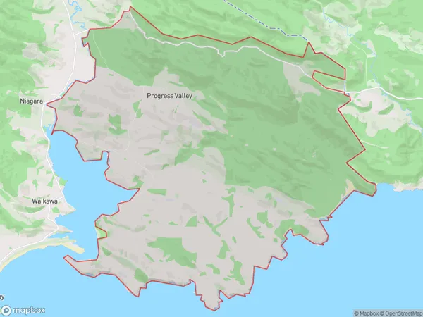
19 people live in Progress Valley, Waihopai Toetoe Community, NZProgress Valley Suburb Area Map (Polygon)
Progress Valley Introduction
Progress Valley is a small rural community in Southland, New Zealand. It is located on the banks of the Progress River, and is known for its scenic views and peaceful atmosphere. The community has a primary school, a post office, and a small supermarket. It is a popular destination for outdoor enthusiasts, with nearby hiking and fishing opportunities.Region
Major City
Suburb Name
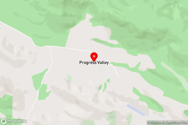
Progress ValleyProgress Valley Area Map (Street)
Local Authority
Southland DistrictFull Address
Progress Valley, Southland District, New ZealandAddress Type
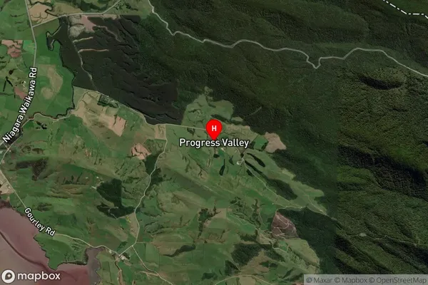
Locality in Major Locality TokanuiProgress Valley Suburb Map (Satellite)
Country
Main Region in AU
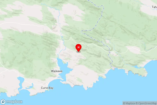
SouthlandProgress Valley Region Map
Coordinates
-46.5942823,169.1840081 (latitude/longitude)Distances
The distance from Progress Valley, Tokanui, Southland District to NZ Top 10 Cities