Slope Point Area, Slope Point Postcode & Map in Slope Point
Slope Point Area, Slope Point Postcode & Map in Slope Point, Southland District, New Zealand
Slope Point, Southland District, New Zealand
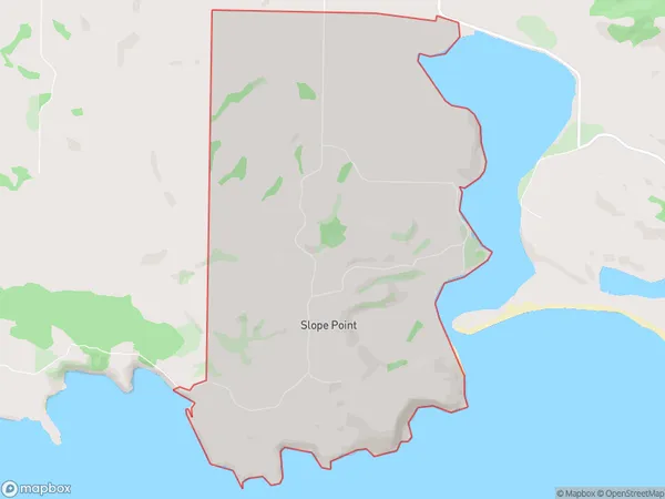
Slope Point Area (estimated)
11.4 square kilometersSlope Point Population (estimated)
26 people live in Slope Point, Waihopai Toetoe Community, NZSlope Point Suburb Area Map (Polygon)
Slope Point Introduction
Slope Point is a small settlement located in the Southland region of New Zealand, situated on the southern coast of the Otago Peninsula. It is known for its stunning coastal views, as well as its role as a popular fishing and surfing destination. The area is also home to a number of historic buildings, including the Slope Point Lighthouse, which was built in 1898 to guide ships through the dangerous waters of the Southern Ocean.Region
Major City
Suburb Name
Slope PointOther Name(s)
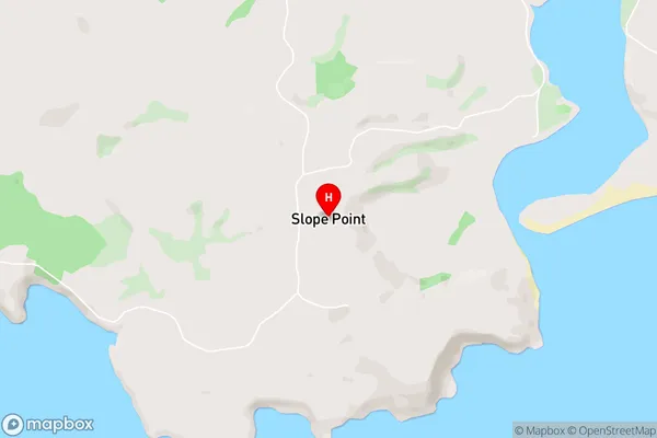
Slope PtSlope Point Area Map (Street)
Local Authority
Southland DistrictFull Address
Slope Point, Southland District, New ZealandAddress Type
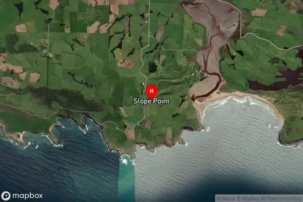
Locality in Major Locality TokanuiSlope Point Suburb Map (Satellite)
Country
Main Region in AU
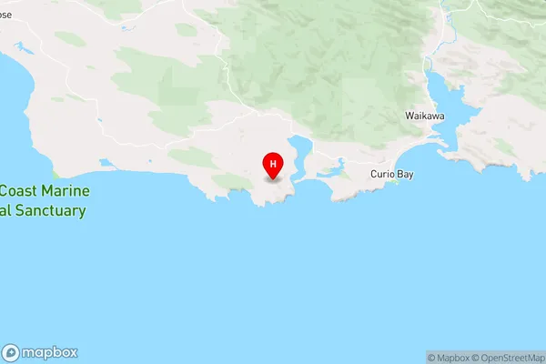
SouthlandSlope Point Region Map
Coordinates
-46.66188,169.01208 (latitude/longitude)Distances
The distance from Slope Point, Tokanui, Southland District to NZ Top 10 Cities