Otara Area, Otara Postcode(2013) & Map in Otara
Otara Area, Otara Postcode(2013) & Map in Otara, Southland District, New Zealand
Otara, Southland District, New Zealand
Otara Postcodes
Otara Area (estimated)
66.8 square kilometersOtara Population (estimated)
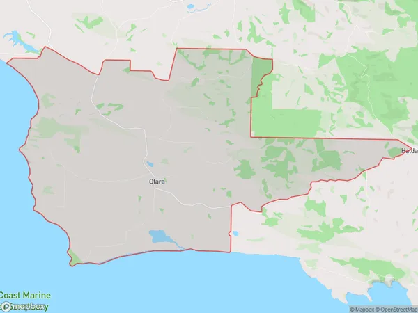
77 people live in Otara, Waihopai Toetoe Community, NZOtara Suburb Area Map (Polygon)
Otara Introduction
Otara is a suburb of Southland, New Zealand, located 12 kilometers south of Invercargill city center. It is known for its historic buildings, including the Otara Power Station and the Otara Railway Station. The suburb has a diverse population and is home to many cultural and recreational facilities, including the Otara Racecourse and the Otara Arts Centre.Region
Major City
Suburb Name
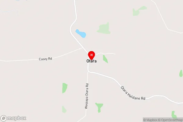
OtaraOtara Area Map (Street)
Local Authority
Southland DistrictFull Address
Otara, Southland District, New ZealandAddress Type
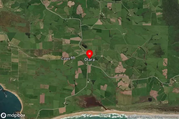
Locality in Major Locality TokanuiOtara Suburb Map (Satellite)
Country
Main Region in AU
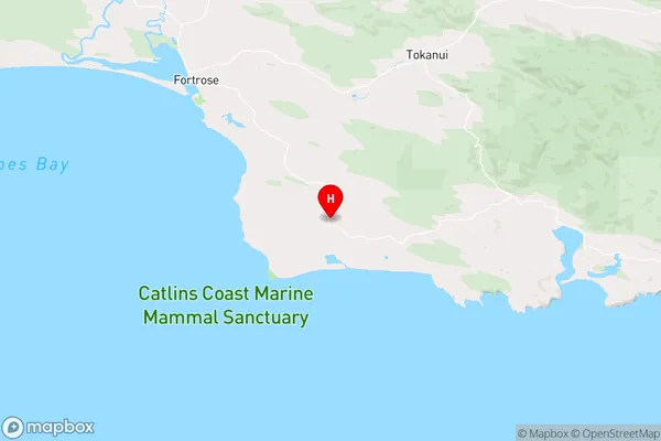
SouthlandOtara Region Map
Coordinates
-46.6352175,168.8845796 (latitude/longitude)Distances
The distance from Otara, Tokanui, Southland District to NZ Top 10 Cities