Te Awamutu Suburbs & Region, Te Awamutu Map & Postcodes in Te Awamutu, Waipa, Waikato
Te Awamutu Postcodes, Te Awamutu ZipCodes, Te Awamutu , Te Awamutu Waikato, Te Awamutu Suburbs, Te Awamutu Region, Te Awamutu Map, Te Awamutu Area
Te Awamutu Region (Hairini, Mangapiko, Ngaroto, Rangiaowhia, Te Rahu Region)
Te Awamutu Suburbs
Te Awamutu is a city place type in Waipa, Waikato, NZ. It contains 9 suburbs or localities.Te Awamutu district
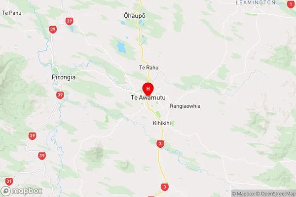
WaipaTe Awamutu Region Map
Te Awamutu Introduction
Te Awamutu is a city in the Waikato region of New Zealand's North Island. It is situated on the banks of the Waikato River, approximately 120 km south of Hamilton. The city has a population of around 55,000 people and is known for its historic buildings, including the Te Awamutu Courthouse, which is one of the oldest courthouses in New Zealand. Te Awamutu also has a popular shopping district, a vibrant cultural scene, and several parks and recreational facilities. The city is home to the Te Awamutu Festival of the Arts, which is a major cultural event in the region.Te Awamutu Region
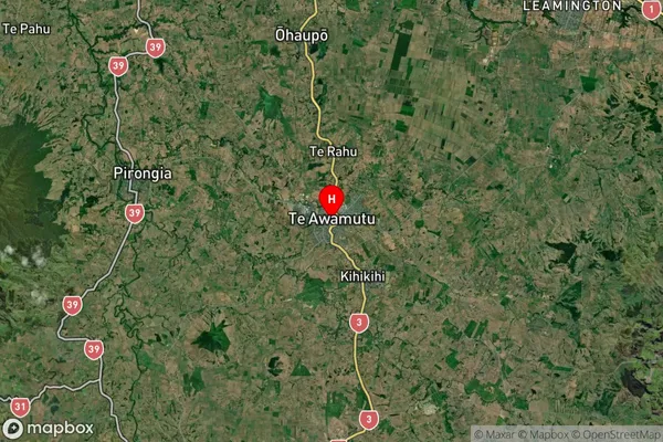
Te Awamutu Satellite Map
Full Address
Te Awamutu, Waipa, WaikatoTe Awamutu Coordinates
-38.010156,175.325783 (Latitude / Longitude)Te Awamutu Map in NZ
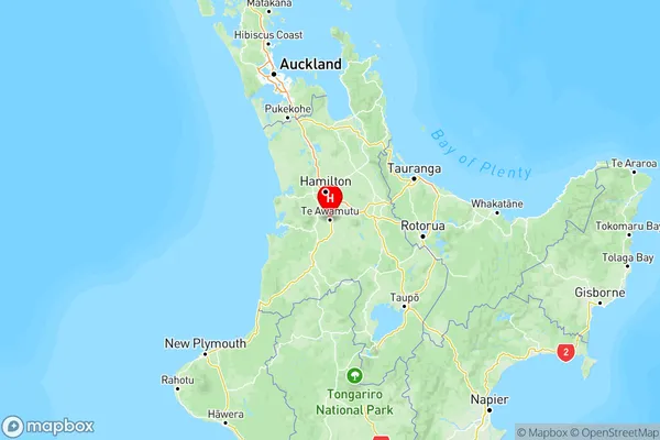
NZ Island
North IslandCountry
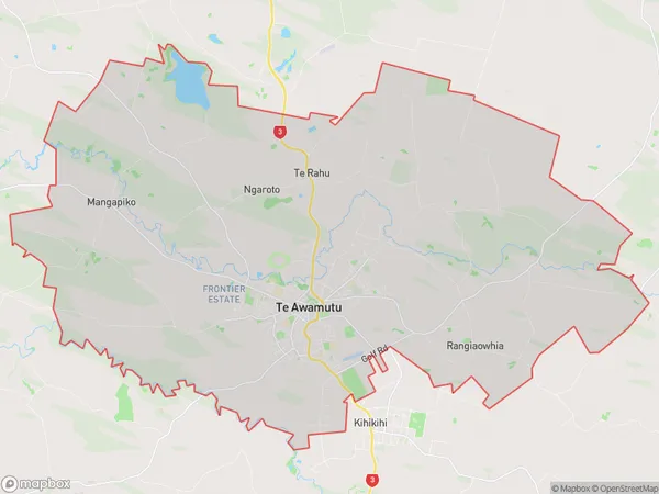
Te Awamutu Area Map (Polygon)
Name
Te AwamutuAdditional Name
Hairini, Mangapiko, Ngaroto, Rangiaowhia, Te RahuLocal Authority
Waipa District
Te Awamutu Suburbs (Sort by Population)
Te Awamutu
Te Awamutu - 16104Kihikihi
Kihikihi - 3457Pokuru
Pokuru - 611Wharepapa South
Wharepapa South - 548Tokanui
Tokanui - 521Te Kawa
Te Kawa - 481Waikeria
Waikeria - 453Wharepuhunga
Wharepuhunga - 417Ngahape
Ngahape - 186
Te Awamutu Suburbs (Sort in alphabetical)
Te Kawa
Te Kawa
Wharepuhunga