Tokanui Area, Tokanui Postcode(3875) & Map in Tokanui, Otorohanga District
Tokanui Area, Tokanui Postcode(3875) & Map in Tokanui, Otorohanga District, Waipa District, New Zealand
Tokanui, Otorohanga District, Waipa District, New Zealand
Tokanui Postcodes
Tokanui Area (estimated)
30.3 square kilometersTokanui Population (estimated)
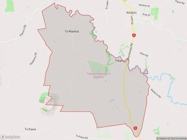
521 people live in Tokanui, Waikato, NZTokanui Suburb Area Map (Polygon)
Tokanui Introduction
Tokanui is a small town in the Waikato region of New Zealand, located on the banks of the Tokanui River. It is known for its beautiful natural surroundings, including the Tokanui Forest Park and the nearby Mount Te Aro. The town has a population of around 3,000 people and is a popular destination for outdoor activities such as hiking, cycling, and fishing. It is also home to the Tokanui Airport, which provides services to the region.Region
Major City
Suburb Name
TokanuiOther Name(s)
Te MawhaiTokanui Area Map (Street)
Local Authority
Otorohanga District, Waipa District (Maori Name: Ōtorohanga District, Waipa District)Full Address
Tokanui, Otorohanga District, Waipa District, New ZealandAddress Type
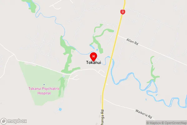
Locality in Town Te AwamutuTokanui Suburb Map (Satellite)

Country
Main Region in AU
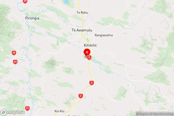
WaikatoTokanui Region Map
Coordinates
-38.0609484,175.3380177 (latitude/longitude)Distances
The distance from Tokanui, Te Awamutu, Otorohanga District, Waipa District to NZ Top 10 Cities