Te Kawa Area, Te Kawa Postcode(3873) & Map in Te Kawa
Te Kawa Area, Te Kawa Postcode(3873) & Map in Te Kawa, Otorohanga District, New Zealand
Te Kawa, Otorohanga District, New Zealand
Te Kawa Area (estimated)
53.1 square kilometersTe Kawa Population (estimated)
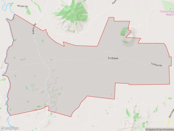
481 people live in Te Kawa, Waikato, NZTe Kawa Suburb Area Map (Polygon)
Te Kawa Introduction
Te Kawa, Te Awamutu, Waikato, NZ, is a small town with a population of around 5,000 people. It is located on the banks of the Waikato River and is known for its historic buildings, including the Te Awamutu Courthouse, which is a Category I listed building. The town also has a popular golf course and a variety of shops and cafes.Region
Major City
Suburb Name
Te KawaOther Name(s)
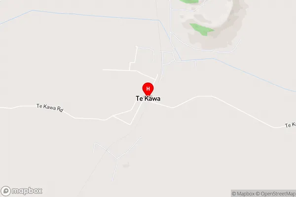
Te Kawa WestTe Kawa Area Map (Street)
Local Authority
Otorohanga District (Maori Name: Ōtorohanga District)Full Address
Te Kawa, Otorohanga District, New ZealandAddress Type
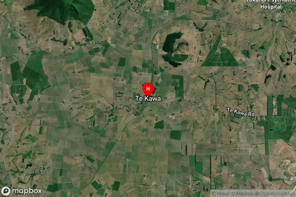
Locality in Town Te AwamutuTe Kawa Suburb Map (Satellite)
Country
Main Region in AU
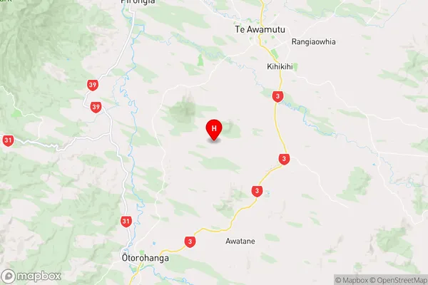
WaikatoTe Kawa Region Map
Coordinates
-38.0948658,175.2816296 (latitude/longitude)Distances
The distance from Te Kawa, Te Awamutu, Otorohanga District to NZ Top 10 Cities