Te Awamutu Area, Te Awamutu Postcode(3840) & Map in Te Awamutu
Te Awamutu Area, Te Awamutu Postcode(3840) & Map in Te Awamutu, Waipa District, New Zealand
Te Awamutu, Waipa District, New Zealand
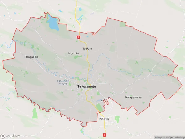
Te Awamutu Area (estimated)
143.3 square kilometersTe Awamutu Population (estimated)
16104 people live in Te Awamutu, Waikato, NZTe Awamutu Suburb Area Map (Polygon)

Te Awamutu Introduction
Te Awamutu is a city in Waikato, New Zealand, with a population of around 55,000 people. It is known for its historic buildings, including the Te Awamutu Courthouse, which is one of the oldest wooden buildings in New Zealand. The city also has a popular farmers' market and a variety of recreational facilities, including a golf course and a swimming pool. Te Awamutu is located about 100 kilometers south of Hamilton, the country's largest city.Region
Major City
Suburb Name
Te AwamutuOther Name(s)
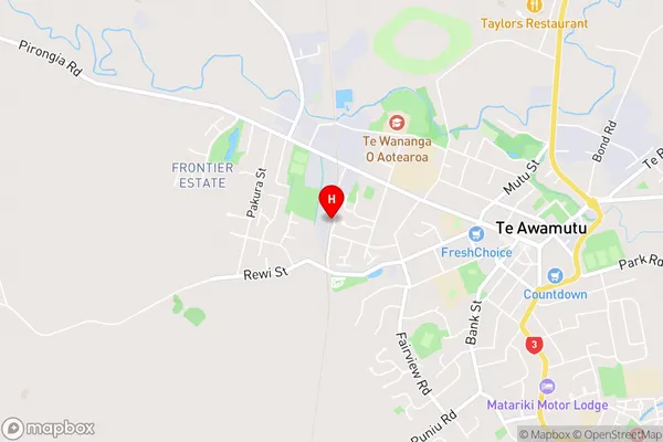
Hairini, Mangapiko, Ngaroto, Rangiaowhia, Te RahuTe Awamutu Area Map (Street)

Local Authority
Waipa DistrictFull Address
Te Awamutu, Waipa District, New ZealandAddress Type
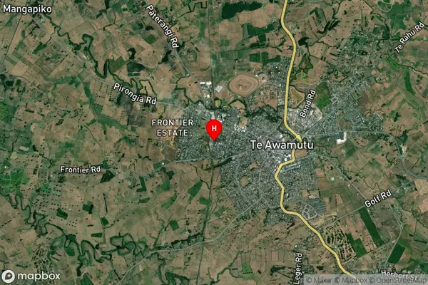
Suburb in Town Te AwamutuTe Awamutu Suburb Map (Satellite)

Country
Main Region in AU
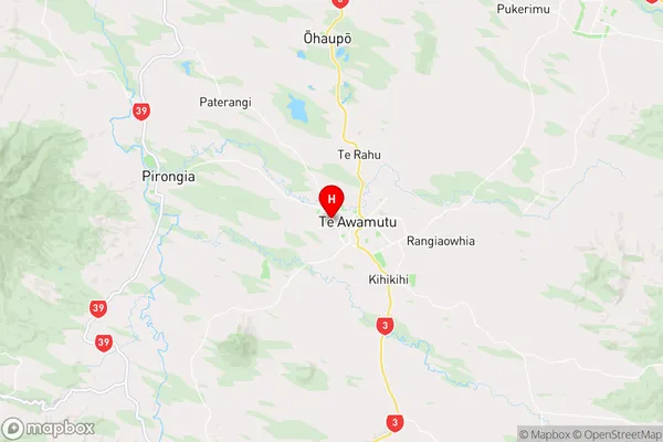
WaikatoTe Awamutu Region Map

Coordinates
-38.0085929,175.3096376 (latitude/longitude)Distances
The distance from Te Awamutu, Te Awamutu, Waipa District to NZ Top 10 Cities