Ngahape Area, Ngahape Postcode(3873) & Map in Ngahape
Ngahape Area, Ngahape Postcode(3873) & Map in Ngahape, Otorohanga District, New Zealand
Ngahape, Otorohanga District, New Zealand
Ngahape Postcodes
Ngahape Area (estimated)
28.0 square kilometersNgahape Population (estimated)
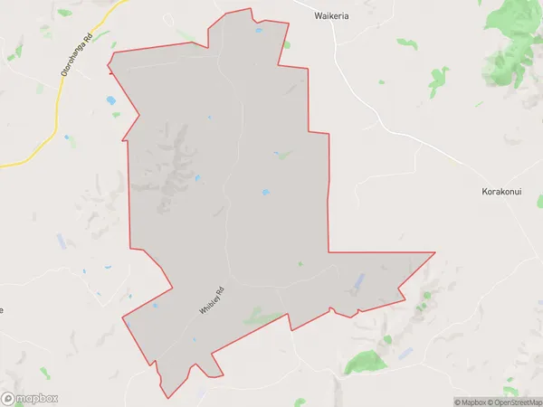
186 people live in Ngahape, Waikato, NZNgahape Suburb Area Map (Polygon)
Ngahape Introduction
Ngahape is a small rural town in the Waikato region of New Zealand. It is located on State Highway 1, approximately 30 kilometers south of Te Awamutu and 120 kilometers north of Hamilton. The town has a population of around 1,000 people and is known for its historic stone church and scenic surroundings. The Ngahape River flows through the town, providing a source of water for farming and recreational activities. The town also has a primary school and a small community hall.Region
Major City
Suburb Name
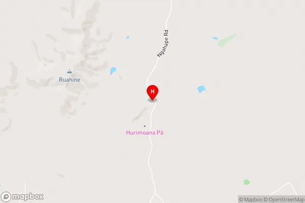
NgahapeNgahape Area Map (Street)
Local Authority
Otorohanga District (Maori Name: Ōtorohanga District)Full Address
Ngahape, Otorohanga District, New ZealandAddress Type
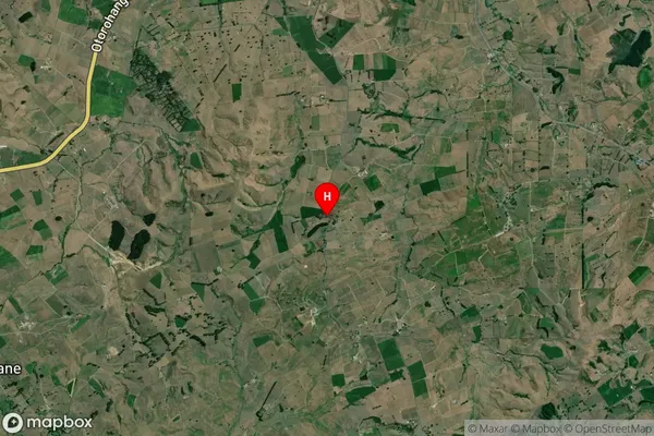
Locality in Town Te AwamutuNgahape Suburb Map (Satellite)
Country
Main Region in AU
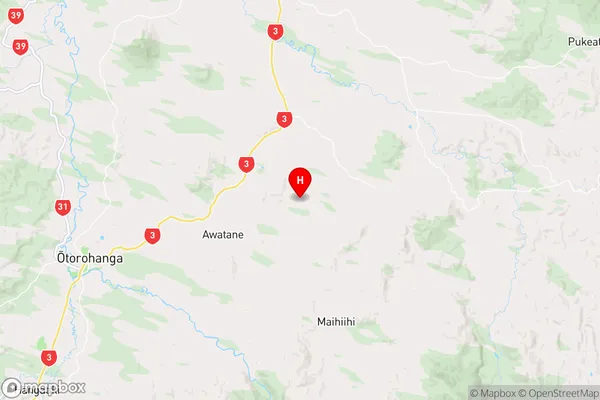
WaikatoNgahape Region Map
Coordinates
-38.150961,175.359849 (latitude/longitude)Distances
The distance from Ngahape, Te Awamutu, Otorohanga District to NZ Top 10 Cities