Pokuru Area, Pokuru Postcode & Map in Pokuru
Pokuru Area, Pokuru Postcode & Map in Pokuru, Waipa District, New Zealand
Pokuru, Waipa District, New Zealand
Pokuru Area (estimated)
63.5 square kilometersPokuru Population (estimated)
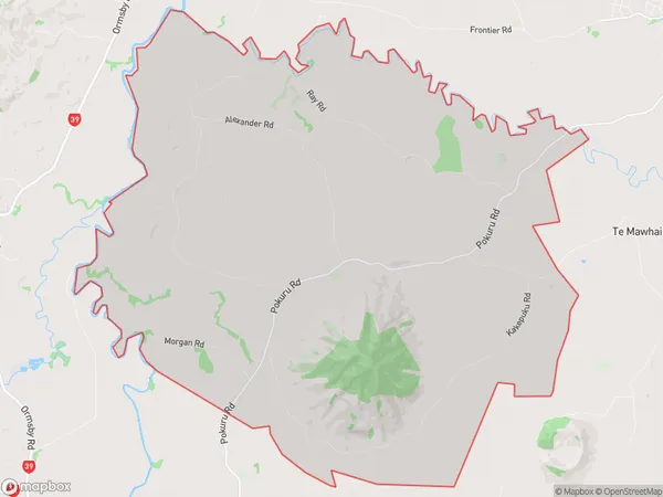
611 people live in Pokuru, Waikato, NZPokuru Suburb Area Map (Polygon)
Pokuru Introduction
Pokuru is a small rural town in the Waikato region of New Zealand, located about 30 kilometers southeast of Te Awamutu. It is known for its historic stone buildings and scenic surroundings, including the Pokuru Forest and the Waikato River. The town has a population of around 500 people and is a popular destination for outdoor activities such as hiking, cycling, and fishing.Region
Major City
Suburb Name
PokuruOther Name(s)
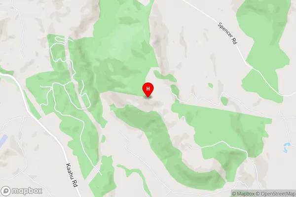
Te KopuaPokuru Area Map (Street)
Local Authority
Waipa DistrictFull Address
Pokuru, Waipa District, New ZealandAddress Type
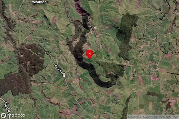
Locality in Town Te AwamutuPokuru Suburb Map (Satellite)
Country
Main Region in AU
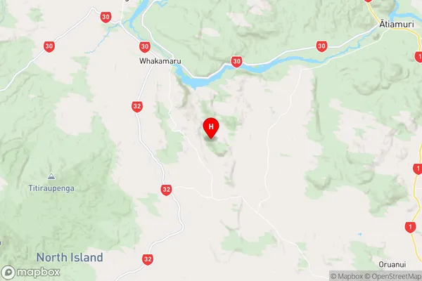
WaikatoPokuru Region Map
Coordinates
-38.481889,175.847944 (latitude/longitude)Distances
The distance from Pokuru, Te Awamutu, Waipa District to NZ Top 10 Cities