Wharepuhunga Area, Wharepuhunga Postcode(3872) & Map in Wharepuhunga
Wharepuhunga Area, Wharepuhunga Postcode(3872) & Map in Wharepuhunga, Otorohanga District, New Zealand
Wharepuhunga, Otorohanga District, New Zealand
Wharepuhunga Postcodes
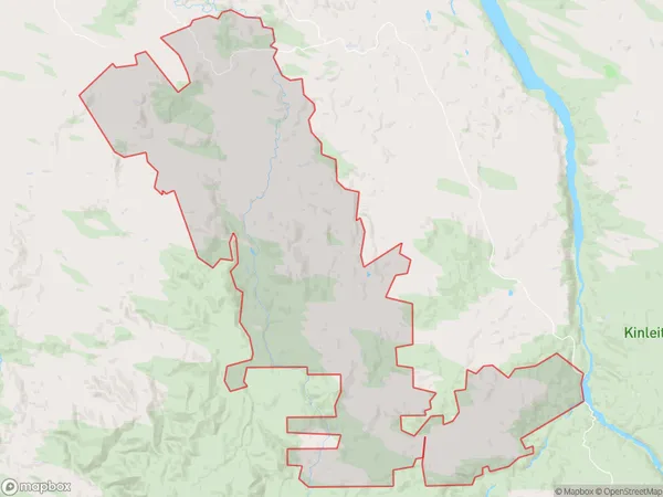
Wharepuhunga Area (estimated)
243.2 square kilometersWharepuhunga Population (estimated)
417 people live in Wharepuhunga, Waikato, NZWharepuhunga Suburb Area Map (Polygon)

Wharepuhunga Introduction
Wharepuhunga (Mount Te Awamutu) is a large volcanic cone in the central North Island of New Zealand. It is the most prominent mountain in the Waikato region and is a popular tourist destination. The mountain is known for its stunning panoramic views, including views of the surrounding countryside, the city of Hamilton, and the Bay of Plenty. Wharepuhunga also has a rich cultural heritage, with numerous archaeological sites and traditional Maori settlements located on its slopes.Region
Major City
Suburb Name
Wharepuhunga (Maori Name: Wharepūhunga)Other Name(s)
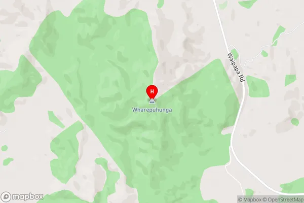
Ngaroma, PanetapuWharepuhunga Area Map (Street)

Local Authority
Otorohanga District (Maori Name: Ōtorohanga District)Full Address
Wharepuhunga, Otorohanga District, New ZealandAddress Type
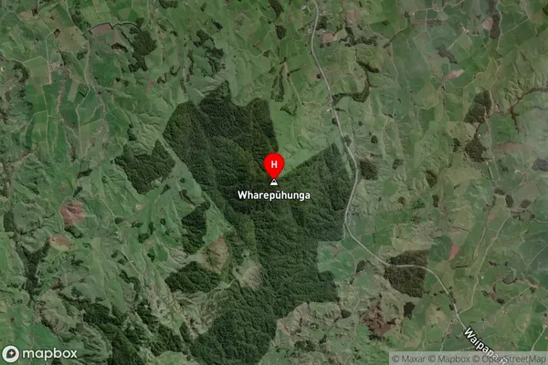
Locality in Town Te AwamutuWharepuhunga Suburb Map (Satellite)

Country
Main Region in AU
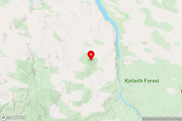
WaikatoWharepuhunga Region Map

Coordinates
-38.2346808,175.6148548 (latitude/longitude)Distances
The distance from Wharepuhunga, Te Awamutu, Otorohanga District to NZ Top 10 Cities